 |
Glacier National Park Trails |
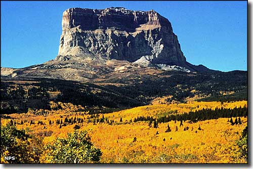
 Chief Mountain |
|
Not everyone who goes to Glacier National Park takes a hike, but many do. And there's more than 750 miles of hiking trails to accommodate them, including about 100 miles of the Continental Divide National Scenic Trail. Actually, the Continental Divide National Scenic Trail in Glacier National Park has some lower routes that you might consider using when the higher routes are buried in snow (that's why so many miles of trail in the Park). It's highly recommended that before you set out on your hike, you check with a park visitor center in regards to up-to-the-minute information, warnings and recommendations. You might also want to know if there are any wildlife "problems" that you need to be aware of. The visitor center bookstores also offer a complete selection of field guides, trail guides and topographic maps to assist you in further enjoying your hike. The Hidden Lake, Trail of the Cedars, Sun Point, Forest and Fire, Running Eagle Falls and Swiftcurrent Nature Trails are all self-guided walks that offer interpretive signage and brochures. Trail of the Cedars and Running Eagle Falls Trail are also universally accessible. The trail maps linked below are Flash objects, courtesy of the National Park Service. These maps offer information on the most popular hiking trails at Glacier National Park. If you have the Adobe Flash plug-in installed, they should open in a new window (or new tab) in your browser and let you take a look around. To return, just close that new window (or new tab). The Logan Pass-Many Glacier map is the largest one and may take a bit longer to load, depending on your Internet connection. Click here for a copy of the official 2009 Glacier National Park Backcountry Camping Guide, a 1.3 Mb .pdf file (courtesy of the National Park Service). Taking a day hike is one thing but if you're planning to stay out in the bush for a while, this is a must-read. And click here to go to the official Glacier National Park web site backcountry info page where you'll find data about trails, campsites, advance reservation availability, etc. that gets updated daily, May through November. That page also offers several QuickTime videos so you can see what you're getting into before you get there. |
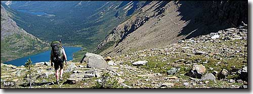
 Ahern Pass |
|
|
 |
| Index - Arizona - Colorado - Idaho - Montana - Nevada - New Mexico - Utah - Wyoming National Forests - National Parks - Scenic Byways - Ski & Snowboard Areas - BLM Sites Wilderness Areas - National Wildlife Refuges - National Trails - Rural Life Advertise With Us - About This Site - Privacy Policy |
| Photo of Chief Mountain at Glacier National Park courtesy of the National Park Service Photo of backpacker at Ahern Pass courtesy of David Restivo, National Park Service Text Copyright © by Sangres.com. All rights reserved. |