 |
Big Sky Back Country Byway |
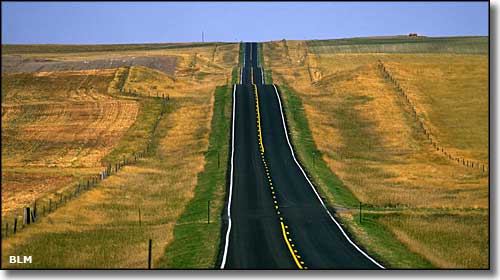 A typical scene along the Big Sky Back Country Byway in Montana |
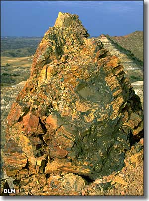
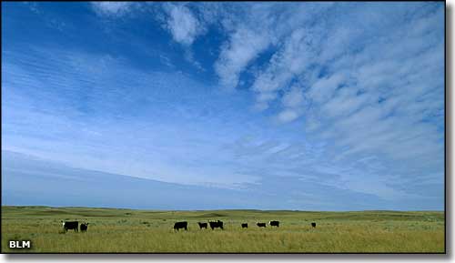
The Big Sky Back Country Byway travels 105 miles north and south across the Great Plains region of eastern Montana. It's not all flatlands: there's buttes and badlands along the way, too. The Back Country Byway is different (for a back country byway) in that the entire route is on paved road. There are several interpretive/informative kiosks along the way that explain things about local history, culture and natural attributes. The northern end of the Byway is at Wolf Point on the Missouri River. Wolf Point is supposed to be the future home of the Montana Cowboy Hall of Fame. The southern end is on the Yellowstone River at Terry. About 3 miles north of Terry along the Byway are the Terry Badlands, a BLM Wilderness Study Area. The Terry area offers fishing and hunting along the Yellowstone River corridor, and places where you might easily find moss agate. The Circle area is well known for its excellent big game hunting possibilities, and for the paleontological discoveries northwest of town. The Wolf Point area offers some excellent fishing along the Missouri River and a chance to check out the historic Lewis & Clark Bridge over the river. In the old days, this route was on the Regina-Yellowstone Trail, a trail used by Canadians to get from Regina, Saskatchewan to Yellowstone National Park. |
 Another typical scene along the Big Sky Back Country Byway 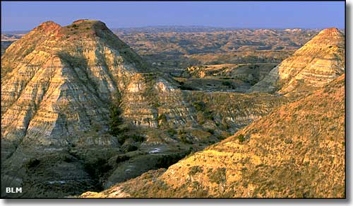 In the Terry Badlands 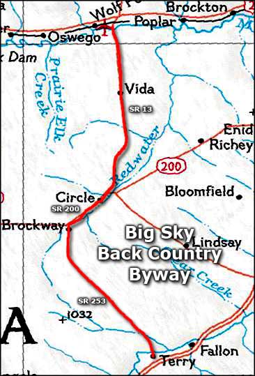 Map of the Big Sky Back Country Byway |
|
|
 |
| Index - Arizona - Colorado - Idaho - Montana - Nevada - New Mexico - Utah - Wyoming National Forests - National Parks - Scenic Byways - Ski & Snowboard Areas - BLM Sites Wilderness Areas - National Wildlife Refuges - National Trails - Rural Life Advertise With Us - About This Site - Privacy Policy |
| Photos courtesy of the Bureau of Land Management. Map courtesy of National Geographic Topo! Text Copyright © by Sangres.com. All rights reserved. |