 |
Moapa Valley National Wildlife Refuge |
|
|
 Moapa Valley National Wildlife Refuge |

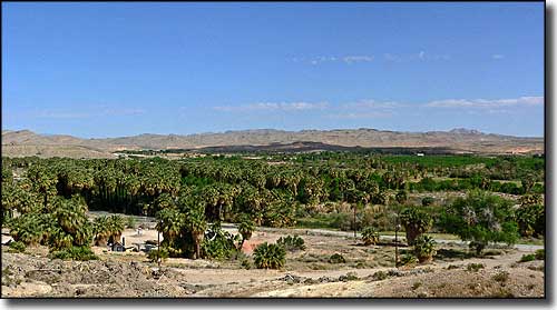
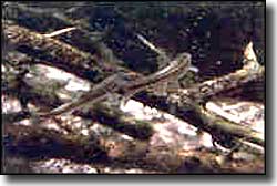
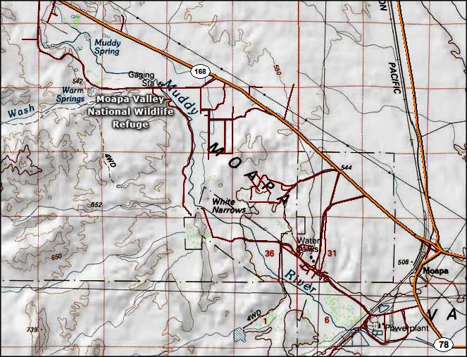
The 117-acre Moapa Valley National Wildlife Refuge was designated on September 10, 1979 in an effort to provide protected habitat for the endangered Moapa dace. This is in the Muddy River area and only about 1,300 of the fish still survive. Most of the refuge habitat consists of stream channels that lead from 6 hot springs on the property to the Muddy River. Up until 1994, this area was the Desert Oasis Warm Springs Resort. Then a wildfire swept through and the place was dormant until 1997. That's when developer Del Webb bought the property and donated it to the U.S. Fish & Wildlife Service. The dace seem to have been doing alright until that wildfire came. Since then their population has declined due to habitat modification and destruction. Groundwater pumping in the area for crop irrigation purposes has decreased streamflows, which decreases dace habitat. The National Wildlife Refuge Association and the Defenders of Wildlife listed the Moapa Valley NWR as one of the 10 most endangered refuges in America in 2005. The Refuge is only open on Saturdays between Labor Day and Memorial Day, from 8 am to 4 pm. To get there: go north from Las Vegas on the I-15 to exit 91 (Glendale). Take Highway 168 northwest for about 7.4 miles to Warm Springs Road. Go left there for 1.4 miles to the chain link fence capped with barbed wire that marks the boundaries of the Refuge (the Refuge is on the left). |
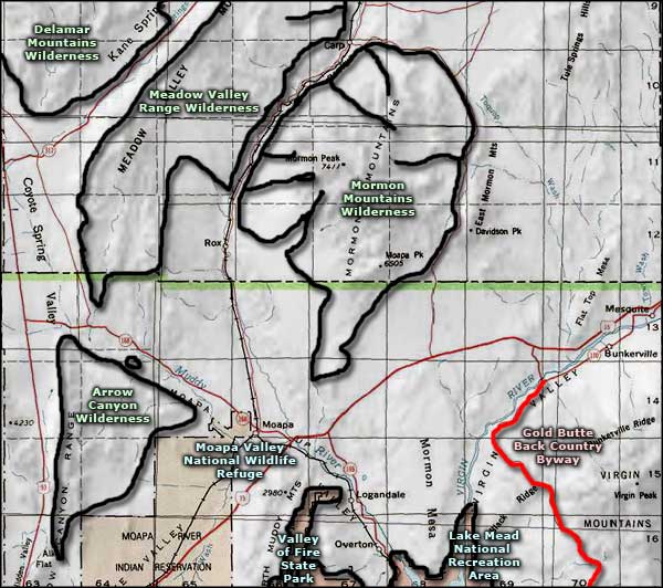
 Moapa Valley National Wildlife Refuge map  Moapa Valley National Wildlife Refuge area map |
|
|

|
| Index - Arizona - Colorado - Idaho - Montana - Nevada - New Mexico - Utah - Wyoming National Forests - National Parks - Scenic Byways - Ski & Snowboard Areas - BLM Sites Wilderness Areas - National Wildlife Refuges - National Trails - Rural Life Advertise With Us - About This Site - Privacy Policy |
| Photo of Moapa Valley National Wildlife Refuge courtesy of Stan Shebs, CCA ShareAlike 3.0 License. Photo of Moapa dace in the water courtesy of the US Fish & Wildlife Service. Maps courtesy of National Geographic Topo! Text Copyright © by Sangres.com. All rights reserved. |