
Grants, New Mexico
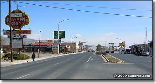
On Main Street (part of Historic Route 66) in Grants, New Mexico
The three Grant brothers (Canadian immigrants) were awarded a contract to build a section of the new Atlantic & Pacific Railroad across western New Mexico in the 1880's. At first, their big work camp was called Grants Camp, then it became Grants Station and was finally shortened to Grants. The town became a section point and was fortuitously located to serve the timber interests in the Zuni Mountains to the southwest. The Atlantic & Pacific Railroad was merged into the Atchison, Topeka & Santa Fe, then a short line was built to connect Grants with the logging areas in the Zuni's. Timber was brought down and shipped to a large sawmill in Albuquerque where it was processed into wood products that were sold all over the western states until logging dropped off in the 1930's.
Construction of the nearby Bluewater Reservoir provided a stable source of irrigation water for the area's fertile volcanic soils and Grants turned itself into "the Carrot Capital of the World." The famous US Route 66 from Chicago to Los Angeles ran/runs through Grants and that brought in a lot of tourist dollars over the years. But the biggest economic boom happened when a Navajo shepherd named Paddy Martinez discovered uranium ore near Haystack Mountain. That sparked a mining boom that lasted into the 1980's (and gave Grants its most recent nickname as the "Uranium Capital of the World"). The end of uranium mining brought the economy of Grants into a depression but things are getting better with a resurgence in tourism brought on by successfully marketing the beauty of the surrounding area.
There is a branch of New Mexico State University in Grants that offers associate degree programs locally with advanced degrees available through distance education. Also nearby is Bluewater Lake State Park.
Grants is located about 70 miles west of Albuquerque off Interstate 40. Main Street through the city is the route of old US Highway 66.
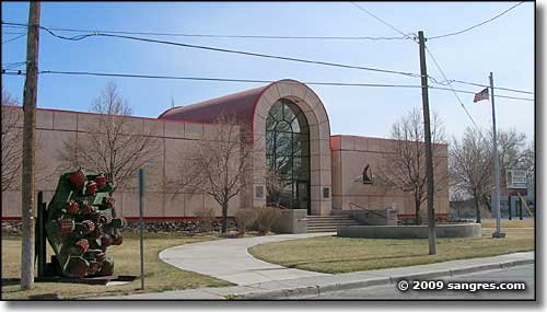
The Grants Mining Museum
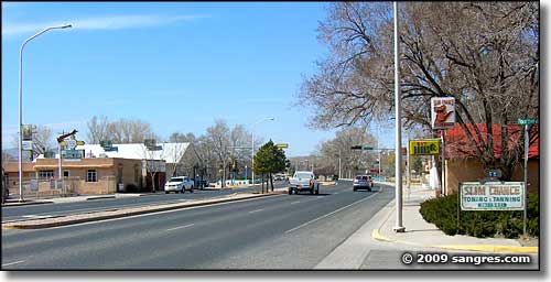
Another view on Main Street
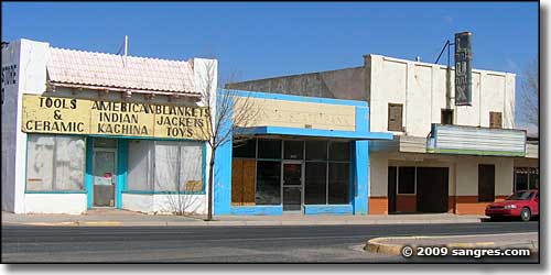
Some classics on Main Street
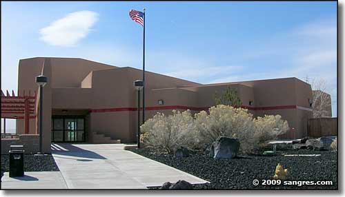
The North West New Mexico Visitor's Center, east of town
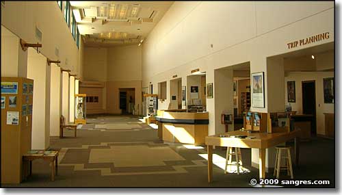
Inside the Visitor's Center
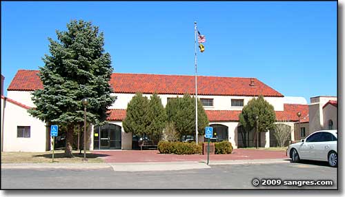
Cibola County Courthouse and County Offices
Latitude: 35.155269°N
Longitude: 107.842099°W
Elevation: 6,460'
Education:
High School or Higher: 76.9%
Bachelor's Degree or Higher: 13.4%
Graduate or Professional Degree: 4.9%
2011 Cost of Living Index for Grants: 81.5
Estimated Median Household Income: $30,860
Estimated Median Home Value: $83,900
Median Resident Age: 34.4 Years
Major Industries:
Educational Services, Government, Construction, Health Care, Lodging & Food Services, Natural Resources, Arts & Entertainment, Social Services, Professional Services, Retail Services
Unemployed (March 2011): 10.6%
Population Demographics: 2010
| Total Population | 9,182 |
| Males | 4,104 |
| Females | 5,078 |
| Population by Age | |
| Under 18 | 2,380 |
| 18 & over | 6,802 |
| 20-24 | 694 |
| 25-34 | 1,197 |
| 35-49 | 1,664 |
| 50-64 | 1,703 |
| 65 & over | 1,298 |
| Population by Ethnicity | |
| Hispanic or Latino | 4,782 |
| Non Hispanic or Latino | 4,400 |
| Population by Race | |
| White | 5,273 |
| African-American | 159 |
| Asian | 78 |
| Native American | 1,553 |
| Hawaiian or Pacific Islander | 20 |
| Other | 1,701 |
| Two or more | 398 |
