Angel Fire Airport

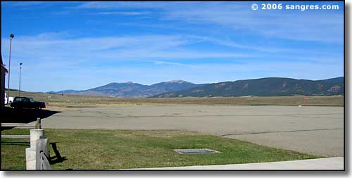
Looking north up the runway
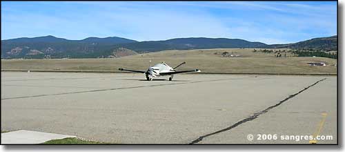
Angel Fire Airport (AXX) is the 5th highest in the United States. Runway 17/35 is an 8,900' x 100' surfaced runway (jet capable), maintained by a fixed base operator (Ross Aviation/Pearce Enterprises) catering to corporate and private aircraft. Pilots use UNICOM 122.8. A new lighting system and a GPS approach system was installed in the spring of '98. LAT N36 25.24'/LONG W105 17.40', pilot radio activated PLASI approach, elevation is 8,382' with prevailing winds from the west. Fuel: 100LL/JET A.

You can shut down and be on the slopes in less than 10 minutes.

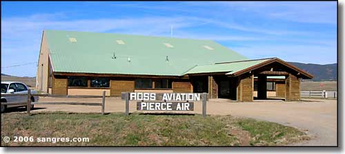
The Angel Fire Airport Terminal
Colfax County Related Pages
Raton - Angel Fire - Springer - Cimarron - Eagle Nest - Maxwell - Colfax CountyAngel Fire Golf Course - Angel Fire Ski Area - Fishing Spots
Vietnam Veterans Memorial State Park - Sangre de Cristo Mountains
Sugarite State Park - Eagle Nest Lake State Park
Cimarron Canyon State Park - Carson National Forest - Dawson
Capulin Volcano - Dry Cimarron Scenic Byway - Santa Fe Trail
Elizabethtown - Maxwell National Wildlife Refuge - Springer Lake
Enchanted Circle Scenic Byway - Philmont Scout Ranch
Other New Mexico Information, Photos and Maps
Towns & Places - Scenic Byways - State Parks - History & HeritagePhoto Galleries - Unique Features - BLM Sites - Outdoor Sports & Recreation
New Mexico's National Forests - Wilderness Areas - New Mexico's National Parks
National Wildlife Refuges - Ski & Snowboard Areas
