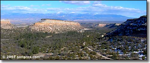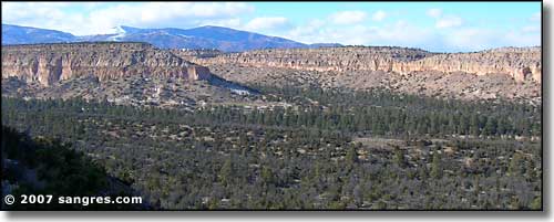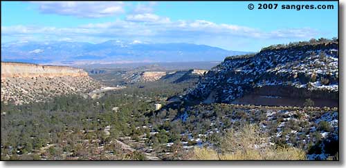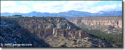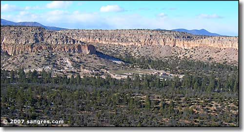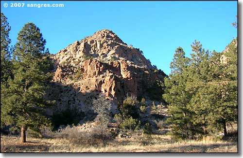
Los Alamos is perched on the edge of a volcanic mesa. The city is built on volcanic ash that was deposited in the area about 1,000,000 years ago. The Jemez Mountains to the west contained one very large volcano that blew its top about that time. The explosion was huge because the whole top of the mountain blew off and chunks of it landed as far away as Pennsylvania and Ohio. There were lava and ash flows in all directions, too. As you make the drive up the hill from the Rio Grande to Los Alamos, you'll be driving through the eroded remnants of volcanic ash: that's all that brightly colored rock that isn't sandstone. In many areas, the top of that volcanic ash was overlaid with hard lava flows. It's that hard lava that has preserved all the vertical faces of ash around here.
This volcanic event was not part of the mountain building that created the Sangre de Cristo's to the east. If you continue out of Los Alamos to the west, the road takes you high into the Jemez and along the edge of the Valle Grande Caldera, that area where the volcano collapsed back into itself after the massive explosion. A bit further west is the San Antonio Peak area where there are hot springs with water coming out of the ground heated to 400°F. There is a geo-thermal research facility there operated by Los Alamos National Laboratory.
Most of this area in the heart of the Jemez Mountains used to be part of the Baca Land Grant but it was bought by the National Park Service several years ago (and named Valles Caldera National Preserve). Now that the property is owned by the public, there is a bit more access allowed, but not much. Over time that may improve but for now there seems to be a lack of funding...
