
Capulin Volcano National Monument
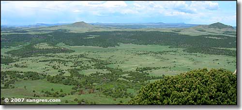
Looking out from the parking area
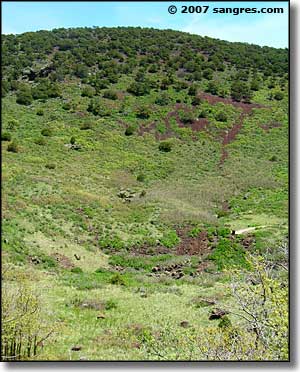
From the parking area at the end of the road there is a paved trail that winds down into the crater itself. The elevation drop is about 105 feet, which means 105 feet you have to come back up again.
As I was leaving I came across two women in the small sitting area whiffing pretty heavily on their asthma inhalers. The kids with them weren't concerned so I just left them to do whatever they were doing, but Fair Warning! This parking area is just under 8,000 feet in elevation and flat-landers may have some problems here.
One thing I noticed when I first pulled in and parked was that most folks look into the crater right away, then walk the other way across the parking lot to take in the distant view. Maybe half the folks eventually ventured down into the crater, and less than that headed up the Crater Rim Trail. But everybody looked out over the other edge and took in the far away views...
I took a few shots of the views and then headed down into the crater. It might have been a quarter mile down to the end of the pavement and the placard there explaining a bit about how a cinder cone is formed. Then I started my steady climb back up the hill, I wanted to hike the Crater Rim Trail, too, before it got too hot on this beautiful Memorial Monday.
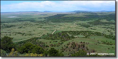
Looking out from the parking area
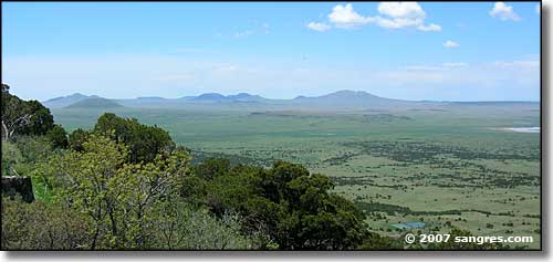
The view southeast
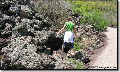
Some kids hiding in the lava rocks
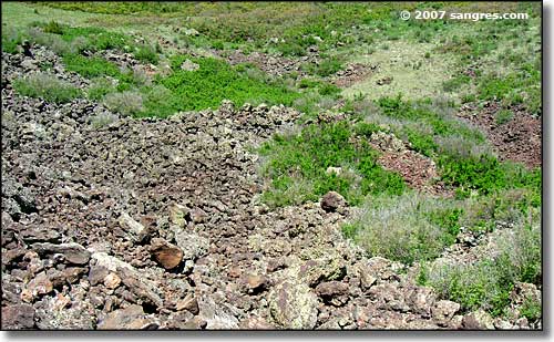
The bottom of the crater itself
To return, use the Back button of your browser.
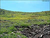
 Looking up from the bottom of the crater |
 Just for scale |
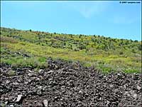
 Looking up in another direction |
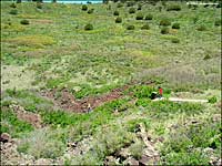
 Yup, this is the bottom |
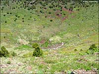
 Another shot for scale |
 Another shot for scale |
