|
||||||||||||
Raton Pass |
||||||||||||
|
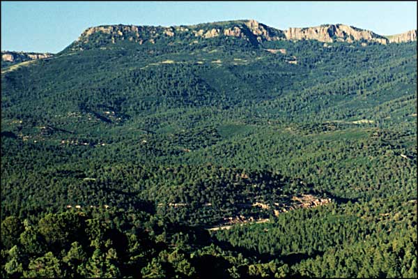
Crossing Raton Pass was the hardest part of the journey along the Mountain Branch of the Santa Fe Trail. An early traveler said the road climbed through a narrow defile filled with boulders and “sudden turns that gave you a glimpse of the green valley below.” Wagons crawled along the edge of steep drop-offs to pass the overhanging rocks. Violent thunderstorms and summer rains washed out whole sections of the road. In 1846, 19-year-old Susan Magoffin made the trip with her trader husband, writing in her journal: “...almost every 50 or 100 yards there are large stones, or steep little hillocks, just the things to bounce a wagon [wheel] up, unless there is the most careful driving.” |
||||||||||||
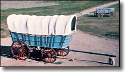
As they crossed the open plains, wagons usually rolled side by side in 4 columns. But going over Raton Pass the wagons formed a single column for the ascent through the narrow valley. Originally, all the wagons were manufactured in the East but by the 1840's, Missouri manufacturers were building wagons for the Santa Fe Trail traffic. Drawn by teams of oxen or mules, the wagons each carried about 6,000 pounds of trade goods between Missouri and Santa Fe. |
||||||||||||
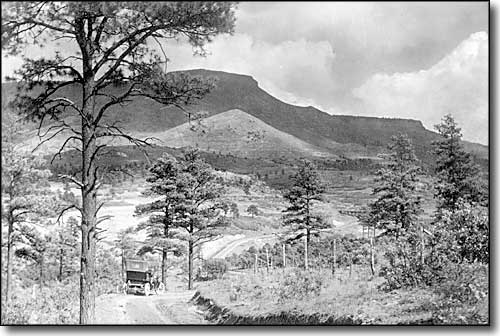 An Aultman photo of Raton Pass in the early 1900's |
||||||||||||
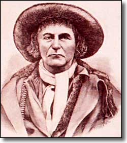
The modern highway over Raton Pass parallels the toll road built by Uncle Dick Wootton in 1866. He improved some 27 miles of the toughest part of the road. “There were hillsides to cut down, rocks to blast and remove,” he said, “and bridges to build by the score. But I built the road and made it a good one.” He erected a tollgate in front of his house and charged $1.50 for 1 wagon or buggy and 25 cents for a horseman, prices that he changed from time to time. But he always allowed the Indians to use the road free of charge. The Atchison, Topeka and Santa Fe Railroad bought the right of way from Wootton in 1879 and built the railroad all the way to Santa Fe in 1880, ending the era of the Santa Fe Trail. These days, Interstate 25 allows people to cross Raton Pass in a matter of minutes, although there are times in the winter when the pass is closed for weather. |
||||||||||||
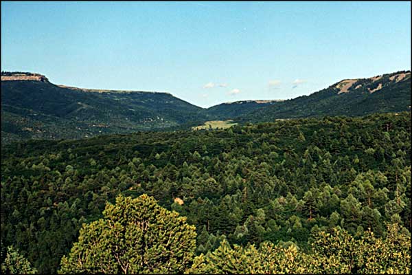
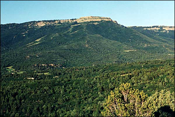
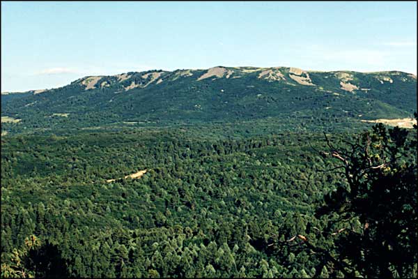
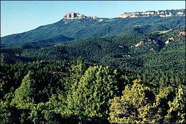
| Clicking on one of the photos below will open a new window or new tab in your browser and bring you a larger version of that photo. |
||||||||||||
| ||||||||||||
Raton Pass Related PagesNew Mexico Pages
Towns & Places - Scenic Byways - State Parks - History & Heritage
Photo Galleries - Unique Features - BLM Sites - Outdoor Sports & Recreation New Mexico's National Forests - Wilderness Areas - New Mexico's National Parks National Wildlife Refuges - Ski & Snowboard Areas Colorado Pages
Towns & Places - Scenic Byways - State Parks - BLM Sites - History & Heritage Ski & Snowboard Areas - Photo Galleries - Colorado Mountains - Scenic Railroads Unique Natural Features - Wilderness Areas - Outdoor Sports & Recreation Colorado's National Forests - National Wildlife Refuges - Colorado's National Parks |
||||||||||||
 |
||||||||||||
| Index - Arizona - Colorado - Idaho - Montana - Nevada - New Mexico - Utah - Wyoming National Forests - National Parks - Scenic Byways - Ski & Snowboard Areas - BLM Sites Wilderness Areas - National Wildlife Refuges - National Trails - Rural Life Advertise With Us - About This Site - Privacy Policy |
||||||||||||
| Photos courtesy of Sangres.com, CCA ShareAlike 3.0 License. Text Copyright © by Sangres.com. All rights reserved. |