 |
|---|
Hunting at
|
|
|
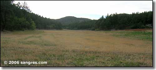 The CDOW grows forage for the wildlife 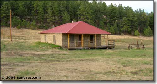 Ranch house, Oberosler tract |
|
From Aguilar take Apishapa Road west following signs to property, or from Trinidad, go west on State Highway 12, 8 miles to Cokedale, turn north on Bon Carbo/Reilly Canyon road, follow the signs, or go 13 miles west of Trinidad on State Highway 12 just past Segundo to Sarcillo Canyon Road, turn north and follow the signs. This State Wildlife Area is actually composed of two pieces. The Apishapa Road and the Sarcillo Canyon Road take you to the western piece, unless you go north on the Sarcillo Canyon Road about 9 miles and turn east on CR 30.1 (La Garita) and follow the signs. The Bon Carbo Road meets up with CR 30.1 at the Bon Carbo Post Office. Follow CR 30.1 west for about 4 miles to a well-signed intersection 4 miles south of the SWA entrance. Just follow the signs. |
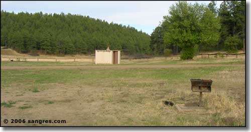 The camping area on the Oberosler tract 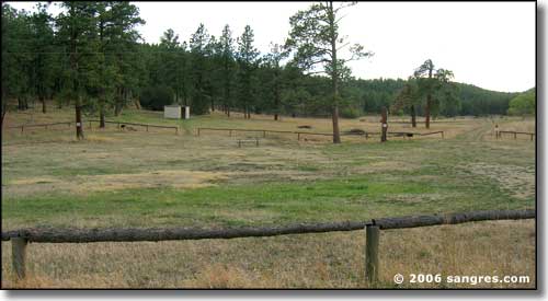 The main camping area on the Dochter tract 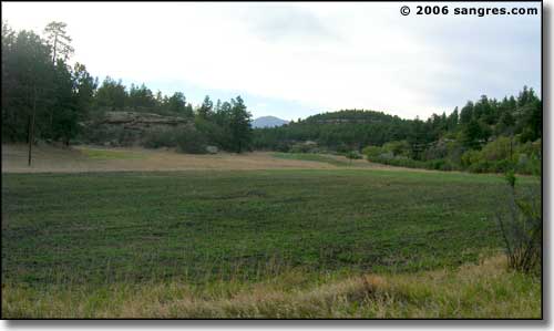 More forage being grown, Dochter tract 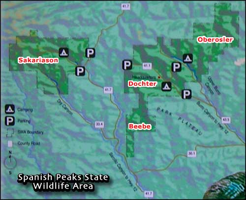 |
|
|
Spanish Peaks State Wildlife Area Related Pages
Las Animas County - Las Animas County Trust Lands
Colorado Trust Lands & Wildlife Areas - GMU Map (.pdf) State Trust Lands FAQ - Big Game Seasons (.pdf) The Colorado Fishing Story Colorado Pages
Towns & Places - Scenic Byways - State Parks - BLM Sites - History & Heritage Ski & Snowboard Areas - Photo Galleries - Colorado Mountains - Scenic Railroads Unique Natural Features - Wilderness Areas - Outdoor Sports & Recreation Colorado's National Forests - National Wildlife Refuges - Colorado's National Parks |

|
| Index - Arizona - Colorado - Idaho - Montana - Nevada - New Mexico - Utah - Wyoming National Forests - National Parks - Scenic Byways - Ski & Snowboard Areas - BLM Sites Wilderness Areas - National Wildlife Refuges - National Trails - Rural Life Advertise With Us - About This Site - Privacy Policy |
| Photos courtesy of Sangres.com, CCA ShareAlike 3.0 License. All text Copyright © by Sangres.com. All rights reserved. |