Indian Canyon Scenic Byway

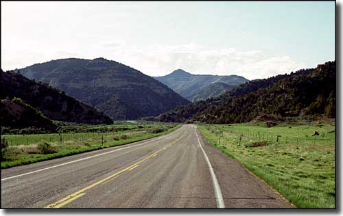
In Ashley National Forest along the Indian Canyon Scenic Byway
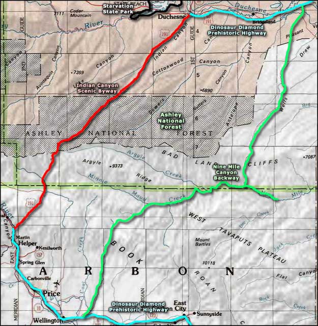
Indian Canyon Scenic Byway is a 47-mile stretch of the Dinosaur Diamond Prehistoric Highway that runs between Duchesne and Helper in central eastern Utah. Heading southwest from Duchesne, the route parallels Indian Creek, slowly rising out of the sagebrush and cottonwoods of the desert terrain into the aspen and Douglas firs of Ashley National Forest where it tops out at 9,100 feet at the summit of Indian Creek Pass. That last run up to the pass rises some 3,000 feet in about 10 miles. Then the route runs downhill through the forest, past some unique rock formations and into the pinyon and juniper country near the beginning of the Roan and Book Cliff Formations. Then you're into the open country with huge vistas along the side of Willow Creek until you reach US Highway 6 and make the turn to Helper.
The northern portion of the Indian Canyon Scenic Byway is across the Ouray and Uintah Indian Reservation but once you reach the Ashley National Forest boundary, there are campgrounds, picnic areas and trailheads: rock climbing, whitewater rafting, fishing, camping, hunting galore. A lot of the trails also see use in winter by cross-country skiers and snowmobilers.
There is gas, supplies and lodging in Duchesne and in Helper but not much of anything in between.

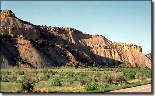
Red sandstone cliffs along the side of the Indian Canyon Scenic Byway

Indian Canyon Scenic Byway area map
