Twin Peaks Wilderness

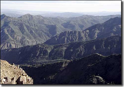
Looking north from the top of Twin Peaks Wilderness
Part of the dramatic backdrop on the southeastern side of Salt Lake Valley, Twin Peaks Wilderness is comprised of 11,396 acres in the Uinta-Wasatch-Cache National Forest. Elevations range from a low of about 5,000' to the summit of Twin Peaks at 11,319'. This is a highly glaciated and eroded area of narrow canyons and high peaks, large cirque basins with small alpine lakes below exposed, knife-edge ridges. The lower elevations are dominated by an oak/maple mountain brush that gives way to scattered stands of fir and aspen in the mid to high elevations.
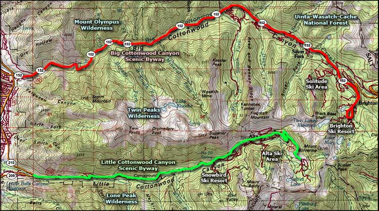
The northern side of Twin Peaks Wilderness is along State Route 190 as it follows Big Cottonwood Canyon and separates Twin Peaks Wilderness from Mount Olympus Wilderness. The southern boundary is along State Route 210 as it follows the course of Little Cottonwood Canyon and separates Twin Peaks Wilderness from Lone Peak Wilderness to the south. Big Cottonwood and Little Cottonwood Creek Canyons are very scenic and all the trailheads in this area are along those roads. However, Twin Peaks Wilderness only has 5 trails that run for only about 10 miles. These trails can be quite crowded on weekends. The whole area is within the Salt Lake City Watershed and has corresponding restrictions on horses, dogs and swimming. The Alta, Snowbird and Brighton Ski Areas are just up the hill beyond Twin Peaks Wilderness.
USGS Quads: Dromedary Peak, Draper, Mount Aire and Sugarhouse

Twin Peaks Wilderness area map
