
Sinks Canyon State Park
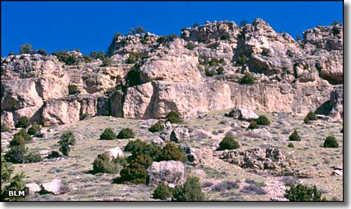
The climbing area at Sinks Canyon
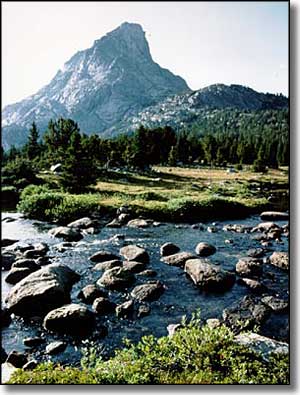
The Popo Agie River in the Wilderness
The Popo Agie River flows downhill to Sinks Canyon where it vanishes into "the Sinks" a large cavern eroded into the Madison Limestone Formation. About 1/2 mile down the canyon, the water reappears in "the Rise," a trout-filled pool, before continuing its journey to the far off ocean. More water exits at the Rise than enters at the Sinks, giving evidence of extensive underground fissures that may be filled with water flowing from who knows where...
Sinks Canyon itself has steep cliff walls that testify to being carved by glaciers, the glacial moraines scattered across the valley floor also giving testimony to the gradual recession of the glacial ice.
The visitor center at Sinks Canyon has a whole section of interpretive stuff going into what's happening with the river. There's also a lot of exhibits and interpretive signage in regards to the wildlife here and the habitat requirements.
In this park, a hiker might come across black bears, porcupines, bighorn sheep, mule deer, moose, red squirrels, jackalope (no, just kidding) or golden eagles. The park also offers fishing, camping, picnicking and rock climbing.
Sinks Canyon is in the foothills of the Wind River Range, home to the Popo Agie Wilderness, a wild and beautiful section of the Shoshone National Forest.
Sinks Canyon State Park is located about 6 miles southwest of Lander, Wyoming on State Road 131.
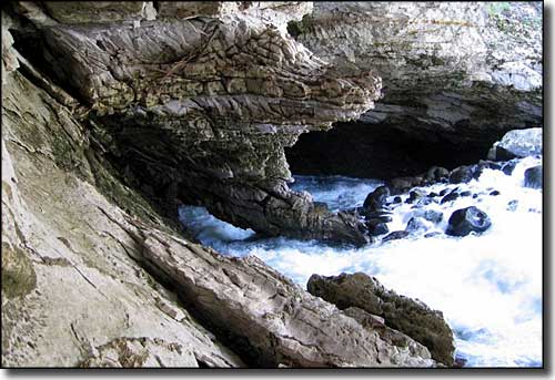
The Sinks
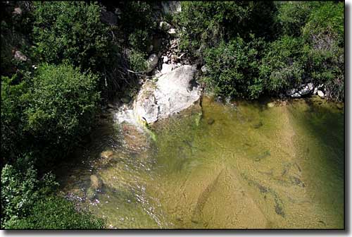
The Rise
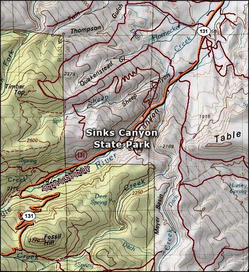
Sinks Canyon State Park map
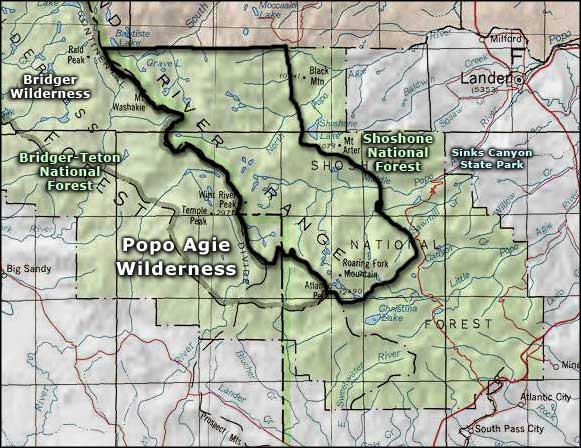
Sinks Canyon State Park area map
Shoshone National Forest - Bridger-Teton National Forest
