Popo Agie Wilderness

In the Popo Agie Wilderness
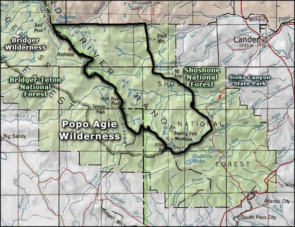
The Popo Agie (po-po-zsha) Wilderness contains 101,870 acres against the eastern boundary of the Bridger Wilderness. Elevations vary from 8,400' on the eastern boundary to Wind River Peak (13,255') on the western boundary with the Bridger Wilderness. The northern boundary of the Wilderness is against the Wind River Indian Reservation (absolutely gorgeous countryside but you'll need a permit from the tribe before you go there).
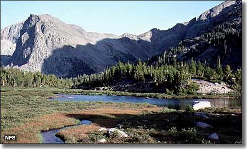
Popo Agie Wilderness contains more than 300 alpine and subalpines lakes and ponds, most teeming with trout, all draining down many miles of tumbling streams and waterfalls to end up in the Wind River. This lush countryside is also home to many deer, elk, moose, black bears, grizzly bears, grey wolves, mountain lions, bighorn sheep, and bobcats. The forests are mostly Engelmann spruce, lodgepole pine, Douglas fir, and subalpine fir.
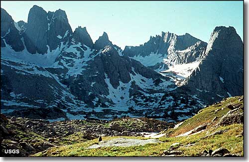
Running about 25 miles along the eastern slopes of the Continental Divide, the Popo Agie has many cirque basins, talus slopes and perennial snowfields. There are more than 20 jagged peaks reaching above 12,000', with many sheer granite walls rising up along the deep and narrow valleys and canyons. There is an area here known as the "Cirque of the Towers," a circular glacier-carved valley surrounded by granite towers and walls offering hundreds of climbing routes that vary in difficulty from 5.1 to 5.11a.
The many miles of trails in this Wilderness attract a relatively large number of people. That has led to overcrowding at times and the imposition of a few restrictions on camping on busy summer weekends and holidays. The waters of Lonesome Lake have been deemed unfit for human consumption because of the presence of human waste.

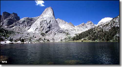
Pingora Peak rising above Lonesome Lake in the Cirque of the Towers area, Popo Agie Wilderness

Cirque of the Towers

Popo Agie Wilderness area map
Bridger Wilderness - Sinks Canyon State Park
