Mount Logan Wilderness

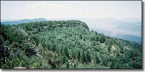
View south from the top of Mount Logan
The geologists say Mount Logan (7,966') was an active volcano not too long ago. Just north of the Grand Canyon and south of Mount Trumbull (and the Mount Trumbull Wilderness), Mount Logan sports some large basalt ledges peeking out through the heavy Ponderosa cover on the upper reaches of the mountain with typical pinon and juniper on the rocky and steep lower slopes. I say "steep and rocky" but Mount Logan is not quite as steep and rocky as nearby Mount Trumbull.
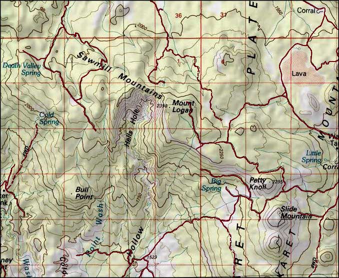
An amphitheater on Mount Logan's western side is called Hells Hole, while Hells Hollow is an indented area below that. You'll find lots of mule deer, wild turkeys, bobcats, mountain lions, Kaibab squirrels, porcupines, spotted skunks and the usual coterie of rodents and rattlesnakes in Mount Logan Wilderness. Backpackers and hunters seem to travel this area in equal numbers, although for most folks, the area doesn't exist, yet.
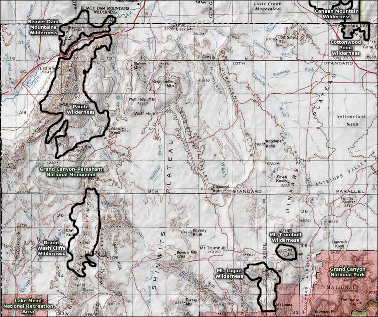
Easiest access is south from Fredonia on SR 389 to the Mount Trumbull Road (Mohave County Roads 109 & 5) to BLM Road 1044. You'd be well served to get the Arizona Strip District Visitor Map before you go out here.
USGS Maps: 7.5 minute: Cold Spring, Mount Logan

Mount Logan Wilderness map

Mount Logan Wilderness area map
