
Grand Canyon-Parashant National Monument

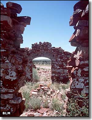
Grand Canyon-Parashant National Monument is a 1,054,264-acre property located in a very isolated region against the northern edge of the Grand Canyon in northwestern Arizona. The Monument is co-managed by the Bureau of Land Management and the National Park Service. There are no services (toilets, running water, electricity, developed campgrounds, cell phone coverage, gas stations, restaurants, motels, etc.) anywhere on the property. This is stark, primitive, other-worldly beautiful landscape. There are no paved roads to the Monument, or within it. The official recommendation is 4WD, high clearance and 2 full-size spare tires to boot. And if you plan to stay more than one day, you might want some extra gas, too. (Did I mention the roads are pretty rough?)
There are only 2 semi-maintained hiking trails in the National Monument. One leads to Mt. Trumbull, the other to Mt. Dellenbaugh. Any other hiking you want to do will require bushwhacking across rugged terrain or through dense brush, or both. When you venture out into this countryside, you want to be sure that someone outside knows where you are going and when you intend to be back. You also want to be sure you have plenty of water, food, maps, a compass or GPS, more water, matches or lighters, more food, more water, and foul weather gear. Grand Canyon-Parashant National Monument is like a wilderness among wildernesses. If you run into serious trouble out here, it's probably over... That said, be careful when you go up or down: you want to be able to come back. Just because you can get there doesn't mean you can come back, especially when making a return down a previous steep ascent.
There are three National Wilderness Areas as part of Grand Canyon-Parashant National Monument: Mt. Trumbull, Mt. Logan and Grand Wash Cliffs. Mt. Trumbull and Mt. Logan are both ancient volcanic remnants, and hiking around in those areas isn't too bad. Grand Wash Cliffs is an eroded landscape left over from the days when the Colorado River ran here, 20-and-more miles north of where it is today. The area is composed of a series of cliffs, some up to 1,000' high. It's not an easy area to go east-west in, although you can generally go north-south along the ledges between the cliffs, if you can get there...
The National Monument is at the juncture of the Colorado Plateau, the Great Basin and the Mohave Desert. Elevations vary from 2,000' to 8,000'. Vegetation varies from Joshua tree and creosote bush to pinon, juniper and sagebrush to Gambel oak, Ponderosa pine and aspen. While there is hardly any surface water on the property, where it does show you'll find incredible oases and riparian areas full of plants, birds and animals. You'll also find 500 million years of geologic history exposed in the Colorado Plateau areas.
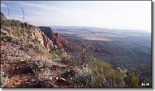
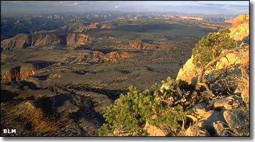
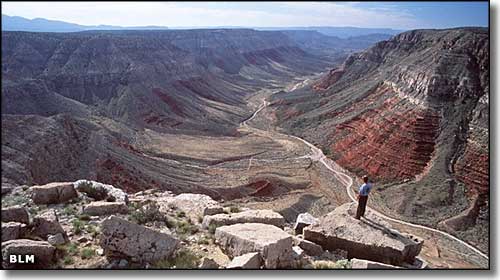
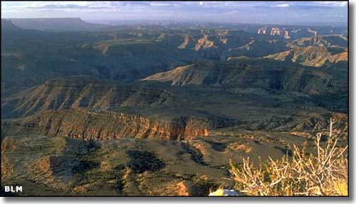
The Grand Canyon is to the south, Nevada to the west and the Arizona BLM Strip runs to the east and north. It's highly recommended that before you go there, buy the Arizona Strip District Visitor Map. This map will show you entry routes from Nevada, Utah and Arizona, and give you an idea as to designated routes inside the Monument. The "designated routes" part is important because no vehicles (including ATV's, dirt bikes and mountain bikes) are allowed off them. And while I wish I had more and better pictures, the ones you see on this page say this is big, empty, rugged countryside. For road conditions, call 435-688-3246.
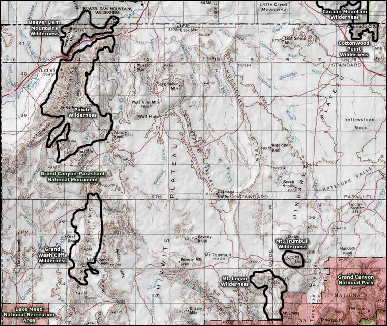
Grand Canyon-Parashant National Monument area map
