Muggins Mountains Wilderness

Muggins Peak

To get to Muggins Mountains Wilderness you need to cross a section of the Yuma Military Proving Ground. When you're crossing the military ground you'll want to stay on the road: technically, the road is not a target.
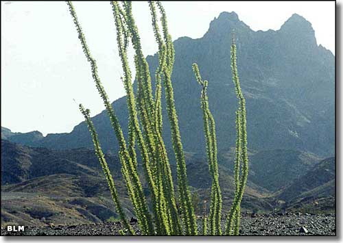
You'll be heading for those rugged peaks at the western end of the Muggins Mountains, a range made of scenic landforms and multi-colored geologic strata. The 7,711-acre Muggins Mountains Wilderness attracts only a very few hardy souls.
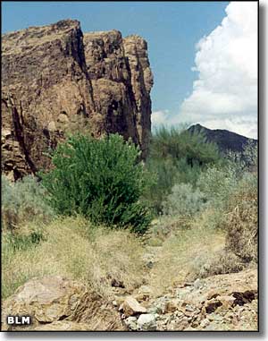
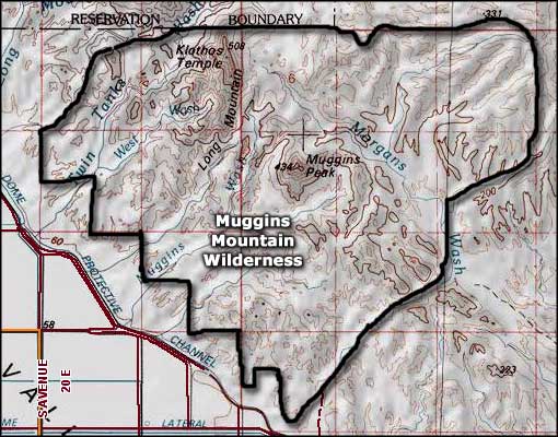
The highest point is Muggins Peak (1,424') but there are some deeply cut drainages here that offer some good challenges for the experienced rock climbers in the crowd. Other climbable peaks here are Klothos Temple (1,193') and Long Mountain (914').
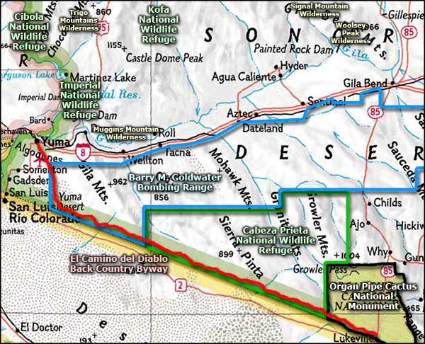
Go east of Yuma on the I-8 to the Ligurta exit, then go east through Ligurta to Dome Valley Road. Take Dome Valley Road to County 7th Street and then turn east again. Take County 7th Street past the Dome Valley Transfer Station to the Muggins Wash access point. This is about 25 miles east of Yuma.
USGS Maps: 7.5 minute: Ligurta, Wellton, Dome, Red Bluff Mountain

Muggins Mountains Wilderness map

Muggins Mountains Wilderness area map
