Wabayuma Peak Wilderness

Wabayuma Peak Wilderness
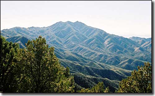
Wabayuma Peak (7,601') towers over the 40,000-acre Wabayuma Peak Wilderness in the Hualapai Mountains south of Kingman. This is an area of highly eroded ridges that drop almost 5,000' in 5 miles to the desert plain below. The ridges are dominated by rocky crags, spires and great granite outcroppings. The canyon bottoms display Mohave and Sonoran desert vegetation rising into desert chaparral. Wabayuma Peak Wilderness also has the northernmost stands of giant saguaros in Arizona. Above the desert vegetation you'll find pinon and juniper woodlands, with Gambel oaks and Ponderosas appearing above 7,000'.
There are many springs in the area, making it easier for hikers and backpackers to hang around longer and explore more. Couple that with generally lower summer temperatures and you have an Arizona wilderness you can visit all year round (although this area does see snow in the winter and can get hot in the middle of summer). The sheer size and scale of the rugged terrain around Wabayuma Peak make for many adventurous hiking trails, although marked trails are essentially non-existent.
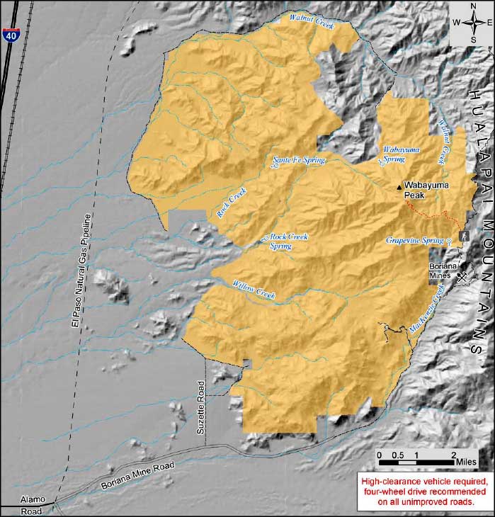
Access to the Wabayuma Peak Wilderness from the north and northwest is blocked by private property. To reach the east and southeast boundaries: take exit 25 off the I-40 at Yucca. Follow the signs to Alamo Road and go south and east for 3.2 miles to the Boriana Mine Road. Turn right onto the Boriana Mine Road. From there it's 9.9 miles to the east wilderness boundary. At 4.5 miles in you can take the Suzette Road north: this will give you access to 3 different points on the southeast side of the wilderness.
USGS Maps: 7.5 minute: Yucca NE, Hualapai Peak, Kingman SE, Wabayuma Peak

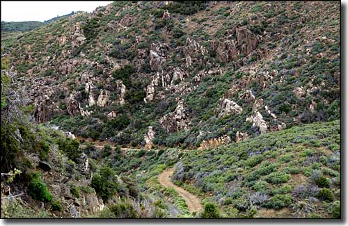
Skirting the edge of Wabayuma Peak Wilderness

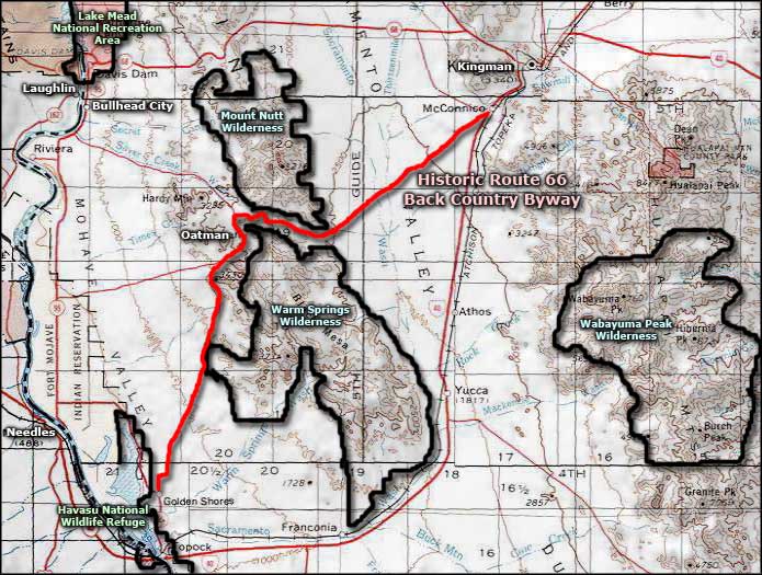
Wabayuma Peak Wilderness area map

Wabayuma Peak Wilderness map
