Warm Springs Wilderness

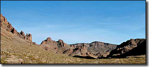
At the edge of Warm Springs Wilderness, Warm Springs Canyon
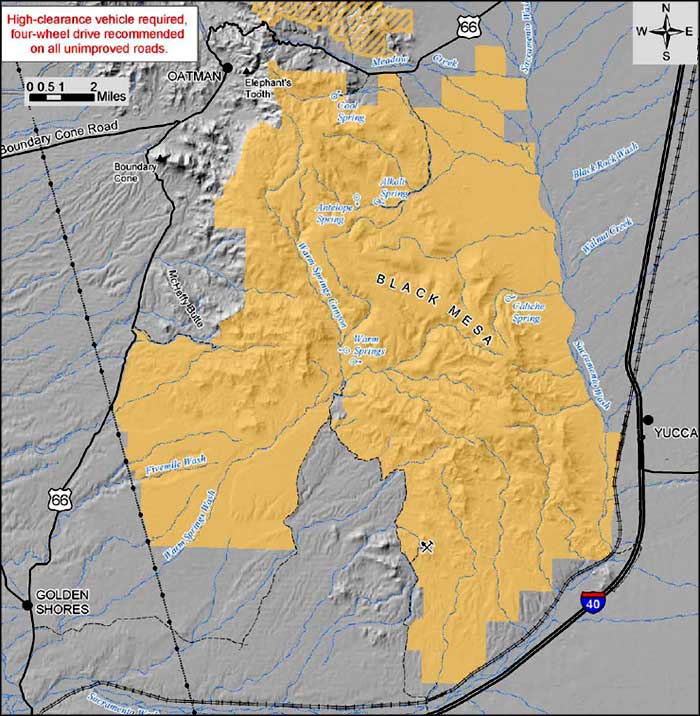
Warm Springs Wilderness is about 112,400 acres of pristine desert landscape in west-central Arizona. The property is towered over by Black Mesa: a 10-mile long island of mountain that rises about 1,000' above the surrounding desert. Over the millenia, the edges of the mesa have been cut deeply into a labyrinth of winding canyons. This is truly ancient countryside with small islands of heavily eroded mesas and isolated hills sticking up above the generally flat desert plain. As you can see from the map below there were once upon a time a lot of mines in the area. That means the country carries a bunch of old jeep trails, some of which lead into the uplands.
A wet winter can make for a beautiful spring with flowering shrubs, annuals, cacti and ocotillo on the mesa. Warm Springs is not the only reliable water source in the area, but you'll need a compass, a good map and good planning to spend any time in this area. Traditional access is via a historic old trail from Baker Spring, or by 4WD following wild burro tracks across the desert...
On the I-40, exits 13, 20, 26 and 28 give access to Warm Springs Wilderness. And along Route 66 there is access at mileposts 15, 17.1, 33.8 and 34.7. However, once you leave that pavement you're going to want high clearance and 4WD.
USGS Maps: 7.5 minute: Mount Nutt, Boundary Cove, Warm Springs, Warm Springs SE, Warm Springs SW, Kingman SW, Yucca NW

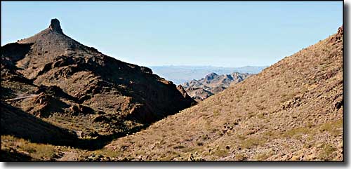
At the western edge of Warm Springs Wilderness

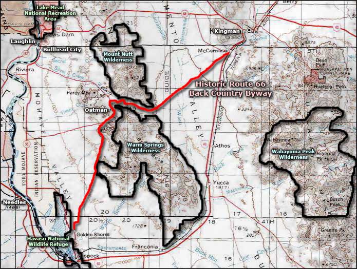
Warm Springs Wilderness area map

Warm Springs Wilderness map
