
Coronado National Memorial
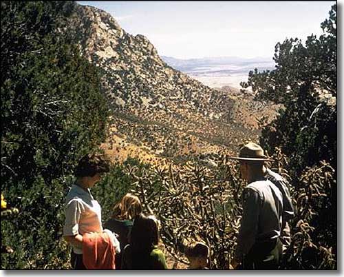
Coronado National Monument
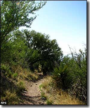
Coronado National Memorial sits on the Arizona-Sonora border between Naco and Nogales. The memorial was established to commemorate the journey of Francisco de Coronado and his men through the southwest in the 1540's. It was established in this place because the property was federal land administered by the National Forest Service (since transferred to the National Park Service) and it was in a position to offer outstanding views down into the San Pedro River Valley, most likely the route of Coronado's expedition as they were leaving Mexico and crossing into what is now Arizona on their way to find the Seven Cities of Cibola (Cibola is most likely a Spanish corruption of "She Wo No," meaning "Land of the Zuni").
The Memorial is a day-use only area. Picnicking and hiking are allowed but no camping (camping is allowed on the National Forest lands which surround the monument). And these days, things are a bit different this close to the border. Boundary markers 100, 101 and 102 are within the park with fencing running between them. The nearest legal border crossings are at Naco, Douglas or Nogales.
Originally, the plan was to form a joint US and Mexico Coronado International Memorial in time to celebrate the 400th anniversary of Coronado's expedition. However, the two governments could not reach an agreement. On November 5, 1952, President Harry S. Truman established Coronado National Memorial as a separate entity and that status hasn't changed any in the years since.
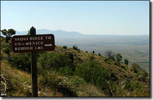
Along the Yaqui Ridge Trail at Coronado National Memorial
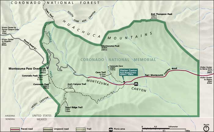
Map of Coronado National Memorial
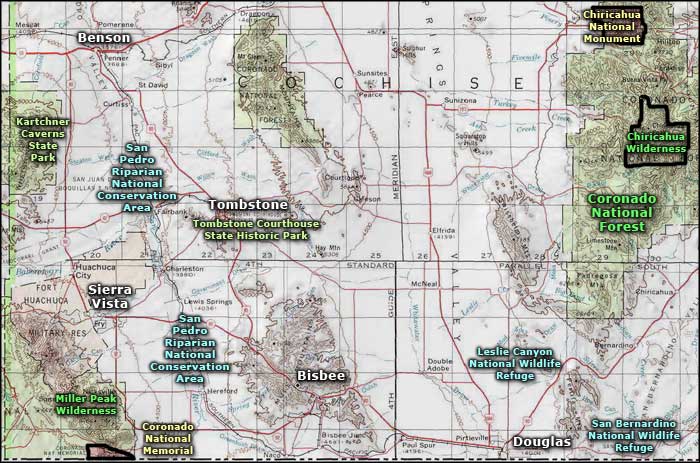
Coronado National Memorial area map
