
Silver Thread Scenic Byway
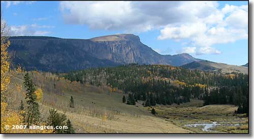
Bristol Head, west of Creede
The Silver Thread Scenic Byway heads north out of South Fork and follows the Rio Grande up to Creede. From Creede the byway skirts around the lower reaches of Bristol Head, following the lazy curves of the Rio Grande headwaters until the river heads west into the narrow mouth of a mountain canyon. From there, the byway rises up to cross Spring Creek Pass. Then it drops a bit through some beautiful alpine countryside before rising again and crossing Slumgullion Pass, descending over the Slumgullion Earthslide, passing the Alferd Packer Memorial, Lake San Cristobal, and entering Lake City. From Lake City the Scenic Byway continues north up the valley of the Lake Fork before crossing the ridge and passing by the Powderhorn Wilderness, then crossing another ridge and dropping to Blue Mesa Reservoir, west of Gunnison. The highlands around Creede and Lake City are littered with the remains of abandoned mining structures testifying to the amount of silver found in the area in the late 1800's. In 1848, John C. Fremont lost a third of his men in these mountains in the winter. The countryside is rugged and contains lots of history, high mountains, wilderness and raw scenic beauty.
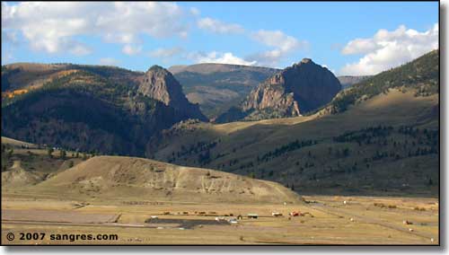
The view from south of Creede
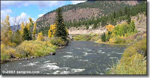
The Rio Grande, at Upper Coller SWA
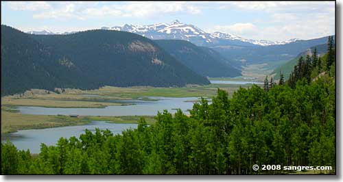
The upper Rio Grande, Rio Grande Pyramid in the center distance
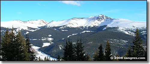
Baldy Cinco in the La Garita Wilderness, from between Spring Creek Pass and Slumgullion Pass
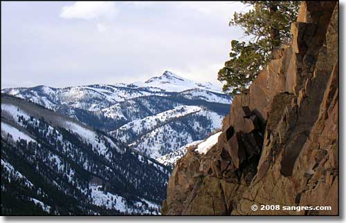
Crystal Peak, from near Windy Point
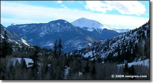
Looking south, Lake City is in the valley in the lower center
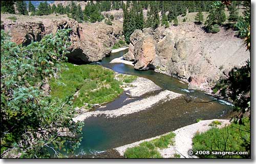
Lake Fork of the Gunnison River, just north of Lake City
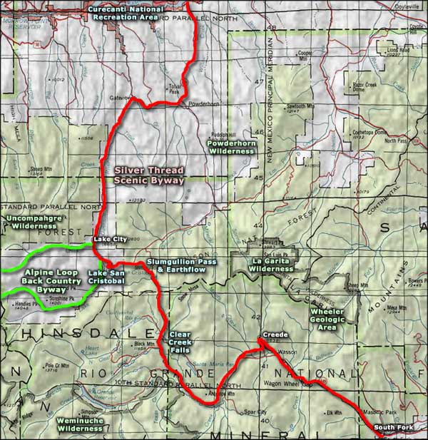
Silver Thread Scenic Byway area map
South Fork to Creede - Creede to Clear Creek Falls
Clear Creek Falls to Lake City - Lake City to Blue Mesa Reservoir
and History of the Silver Thread
