
Silver Thread Scenic Byway
Clear Creek Falls to Lake City

Baldy Cinco, from between Slumgullion Pass and Spring Creek Pass
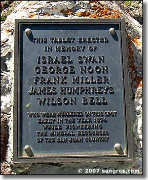
The Alferd Packer Memorial
Leaving Clear Creek Falls, the highway travels a wide valley and, after seven miles, comes to the crest of 10,898-foot Spring Creek Pass atop the Continental Divide. The Colorado Trail, a 469-mile-long hiking trail connecting Denver with Durango, crosses the highway here. The highway descends to cross another six mile valley and then rises to the top of 11,361-foot Slumgullion Pass. Slumgullion Pass is about 600 feet higher than the Continental Divide but that's how the San Juan's are. There's a great pull-off at the summit of Slumgullion: take a hike out along the ridge and catch some of the views. When you leave here headed for Lake San Cristobal and Lake City you'll want to gear down: steep road ahead.
Not too far down the road is the Windy Point Overlook: another nice stopping place. Then you come to the area of the Slumgullion Earthflow. The earthflow, or mudslide, began some 700 years ago when, lubricated by heavy rains, the weak volcanic tuff and breccia on the southern flank of Mesa Seco slumped several miles down the steep mountainside. The earthflow blocked the river and created Lake San Cristobal, Colorado's second largest natural lake.
About 350 years ago, a second earthflow started from the top of the mountain. The new flow is still moving, sometimes as much as twenty feet in a year.
Most of the rest of the way down the hill you're going to be criss-crossing this earthflow. The next great pull-off gives an incredible view down over Lake San Cristobal: don't miss it. A couple more hairpin turns and you reach the bottom of the hill, right near the Alferd Packer Memorial. Packer was guiding five men through the mountains of central Colorado in 1874 when they ran out of food and energy in shoulder-deep snows. At his trial in 1883, the court held that Packer killed four of the men in their sleep and killed the fifth after a struggle. He then ate at the remains until he was able to walk 50 miles to an Indian agency in the Cochetopa Hills, then another 50 miles over the Continental Divide to Saguache. He was arrested in 1883 in Wyoming and brought back for trial. Sentenced to 40 years, he was released from prison in 1901 and died in 1907. (One of the restaurants in Lake City now serves "the manburger" in remembrance...)
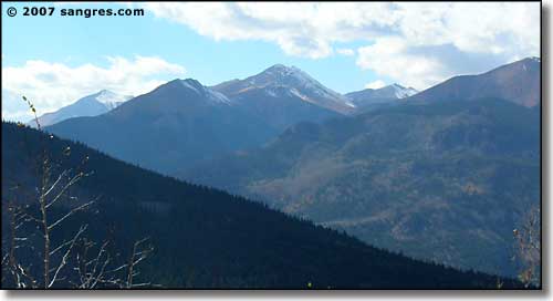
Grassy Mountain, from Windy Point Overlook
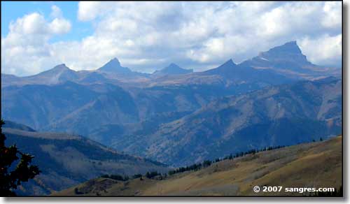
Wetterhorn on the left, Matterhorn in the center, Uncompahgre on the right
from Windy Point Overlook
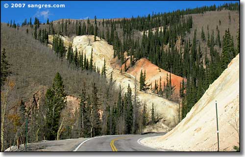
Slumgullion Earthflow
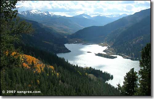
Lake San Cristobal
Lake San Cristobal
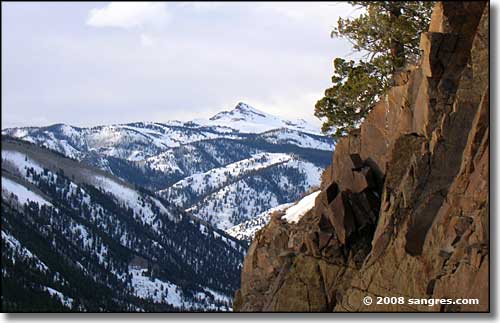
Crystal Peak, above Lake City
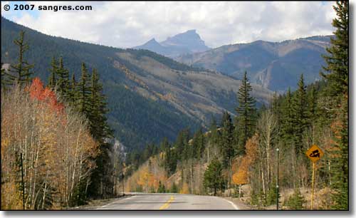
Another look at Uncompahgre Peak
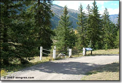
The site of Alferd Packer's famous meal
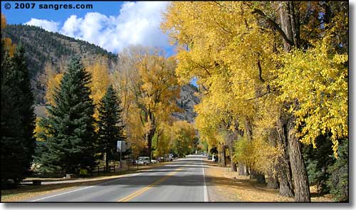
Coming into Lake City from the south
To return, use the Back button in your browser.
 Baldy Cinco |
 Baldy Cinco |
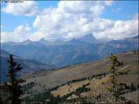 14er's to the west |
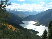 Lake San Cristobal |
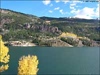 Lake San Cristobal |
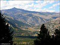 Canyon of the Lake Fork |
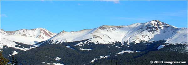
Baldy Cinco
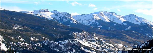
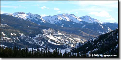
The San Juans above Lake San Cristobal
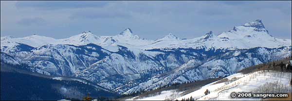
Wetterhorn, Matterhorn, Uncompahgre, left to right
Just past the site of Alferd's famous meal is the last turn before you cross over the Lake Fork of the Gunnison River and head on downstream into Lake City. About a mile or so on the left, is the turn southwest to Lake San Cristobal and the Alpine Loop Back Country Byway. In the center of Lake City is a left: the beginning of the road over Engineer Pass, also part of the Alpine Loop. Lake City is the county seat of Hinsdale County, the most sparsely populated county in the United States. The county has a population of about 470 and is about the size of Rhode Island.
