
Silver Thread Scenic Byway
Lake City to Blue Mesa Reservoir
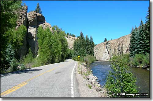
Heading north out of Lake City along the Lake Fork of the Gunnison River
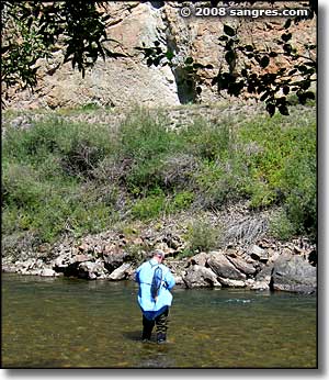
This route follows the Lake Fork of the Gunnison River north from Lake City for 10 or 12 miles before splitting at Gateview, with the Lake Fork heading north and the highway heading east toward the Powderhorn Basin. Driving through this area you'll see lots of evidence of the volcanic origins of the San Juan Mountains, especially along the Lake Fork streambed. There's some huge granite/lava palisades and lots of large formations that are basically eroded volcanic ash and brecchia. Climbing on the solid granite is one thing, climbing on the "rotten rock" of the ash and brecchia is quite another. But it does make for some different formations.
Above Gateview (the turnoff toward Sapinero, Road 25: dirt road going to Blue Mesa Lake just west of Sapinero), the highway climbs up through Dutch Gulch, crosses the ridge and drops down into the Cebolla Creek drainage, then passes through the Powderhorn area before rising to cross another ridge and begin the long descent to Blue Mesa Reservoir and the terminal junction with US Highway 50, west of Gunnison.
I've driven this road several times and always see something I missed before. As you look through the photos below you'll see that I do actually stop and look around on a regular basis. But next time I go through the area I want to make the turn and get into the Powderhorn Wilderness area.
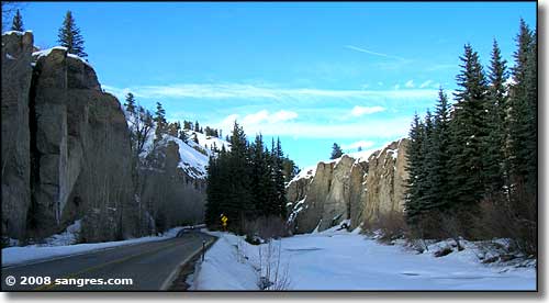
Same view as the top photo, in February
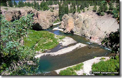
Lake Fork of the Gunnison, just north of Lake City
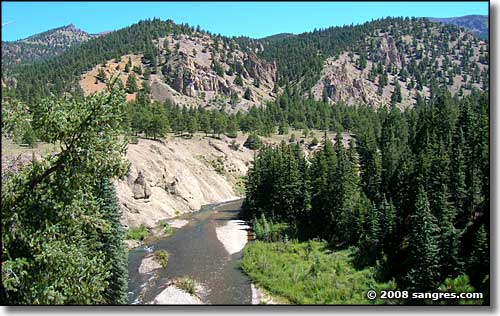
Lake Fork again, notice the rock formations in the distance
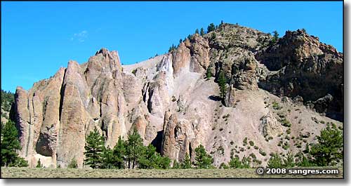
Rocks of volcanic ash below lava cliffs, just north of Lake City
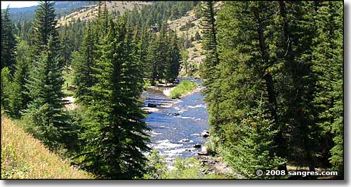
This is in The Gate area, BLM campground/picnic area/fishing access, still south of Gateview
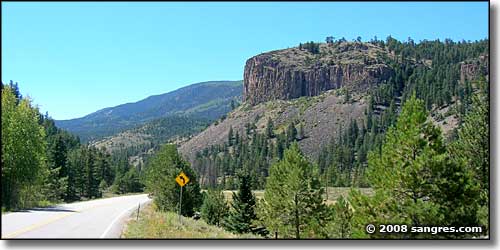
Lava palisades above The Gate
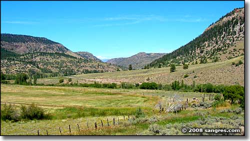
This is at Gateview, looking north up the valley of the Lake Fork
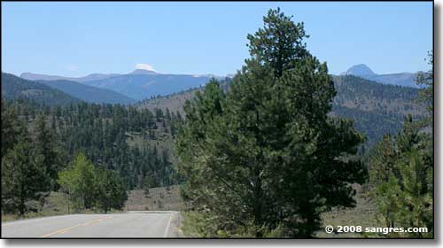
Looking south from the top of Dutch Gulch, Uncompahgre Peak on the right
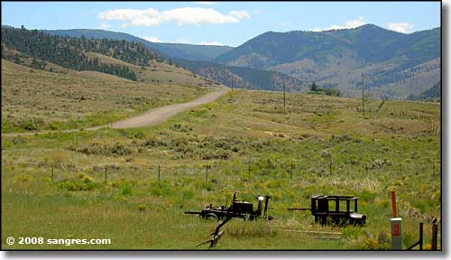
The Powderhorn Wilderness is up there

Looking toward Powderhorn Wilderness in February
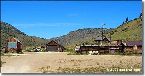
At the Powderhorn turnoff, opposite side from the road from Powderhorn
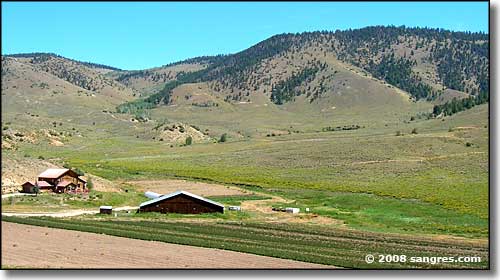
Below Huntsman Mesa
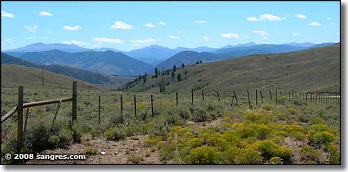
Looking down the valley toward Blue Mesa Reservoir, the West Elk Mountains on the horizon
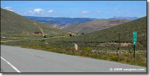
Almost down to Blue Mesa Reservoir
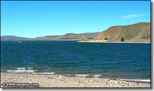
Blue Mesa Reservoir, looking west near the junction of the Silver Thread and the West Elk Loop
