
Top of the Rockies Scenic Byway
Leadville to Twin Lakes
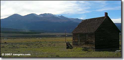
Looking southwest at Mt. Massive (14,421'), south of Leadville
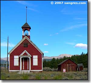
The Top of the Rockies Scenic Byway heads south out of Leadville on US Highway 24. The route travels across a large, wide open park area with a shortage of big trees until you come to the Balltown area.
The views are great in all directions, 14ers almost everywhere you look. Once you're out of the Leadville Mining District there isn't a lot of sign of past human habitation: may have something to do with the elevation.
Balltown is at the intersection with State Route 82, which heads west through Twin Lakes and then up over Independence Pass to Aspen. It's paved all the way to the summit of the Pass but on the other side, there's a long dirt stretch that may be wide enough for one-and-a-half vehicles at a time, on a really good day, with no traffic. Despite all the signs saying "don't do this" I"ve always come across someone on this road driving a large RV and towing a trailer.
I turned west at Balltown and just over the first hill came to the east end of Twin Lakes Recreation Area: large beautiful lakes with mountains on three sides. The historic town of Twin Lakes was five or six miles in. Just past the town is where the Top of the Rockies Scenic Byway used to end. I kept going, and I highly suggest that you do to. This road is usually closed from November to May, from Balltown to Aspen. If you have a problem with heights, the real climb to Independence Pass will make you very nervous.
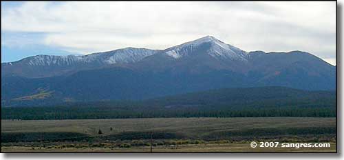
Mt. Elbert (14,441'), highest in Colorado
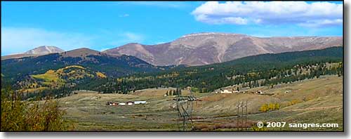
The Mosquito Range, Mt. Sherman (14,036") peeking up to the left
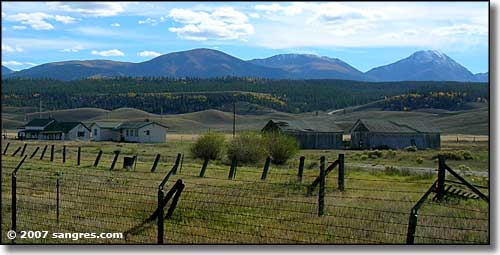
Looking southwest to the Sawatch Range, Quail Mountain (13,461') on the right
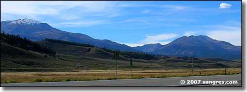
Looking northwest to Mt. Elbert and Mt. Massive from near Balltown
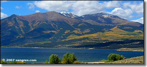
Looking northwest across Twin Lakes, Parry Peak, Bull Hiil and Mt. Elbert (l to r)
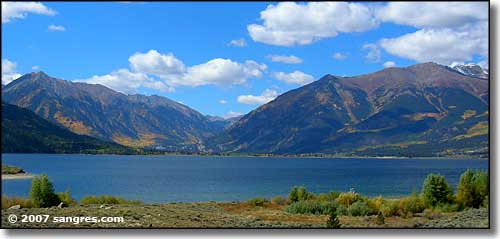
Looking west up Lake Creek Canyon (where the road goes to Independence Pass)
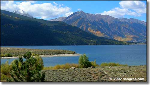
Looking southwest across Twin Lakes at Twin Peaks
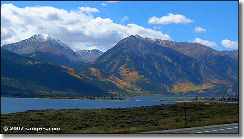
Looking south across Twin Lakes, Quail Mountain on the left
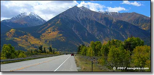
Quail Mountain, Twin Peaks, Rinker Peak (l to r)
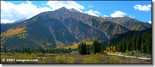
Coming to the bottom of Independence Pass
