
Top of the Rockies Scenic Byway
Camp Hale to Leadville
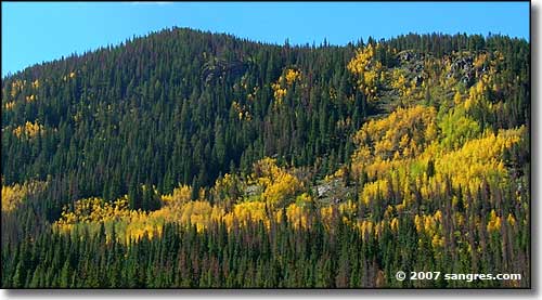
Looking west at Camp Hale
From Camp Hale, it's a hop, a skip and a jump to the summit of Tennessee Pass. Beautiful forest, a few mining roads, two switchbacks and you're at the top. Other than the signage for the summit and for Ski Cooper, you might not even know this is a significant pass, but this is along the main route forged by the Union Pacific Railroad to carry all those valuable minerals and ores out of the Leadville Mining District back in the late 1800's. And to carry passengers and items of value back in... The summit of Tennessee Pass is on the Continental Divide.
Because of the heavy tree cover, there's not much for views until you roll down the hill and emerge in Tennessee Park: a large open area that looks perfect for cattle and horse ranching (a bit wet in spots but still...). The views open out again and there's some big mountain around here but they're all quite a ways back from the road (what you're seeing when you look to the west is the Continental Divide running along the top of the highest ridges). Turquoise Lake is at the southwestern corner of Tennessee Park and just over Bald Eagle Mountain to the south of that is the Leadville National Fish Hatchery.
The road passes a mobile home park, back into the trees for a short distance and then you come to the intersection with Colorado 91, right at the north end of the commercial development at the north end of Leadville.
Northeast of Minturn (and north of Vail) is Eagles Nest Wilderness. Southwest of Minturn and at a distance west of Gilman (an abandoned mining camp), is Holy Cross Wilderness. Mt. Massive is in the heart of Mt. Massive Wilderness. Over the Continental Divide from Mt. Massive is the Hunter-Fryingpan Wilderness.
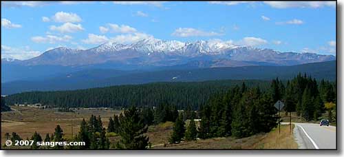
Mt. Massive from the south side of Tennessee Pass, north end of Tennessee Park
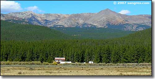
Looking west to Galena Mountain and Homestake Peak (l to r)
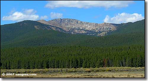
A ridge on the Continental Divide
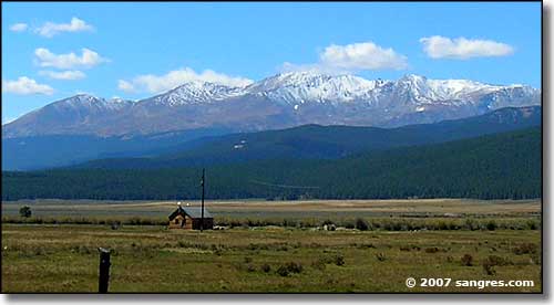
Mt. Massive again, from Tennessee Park
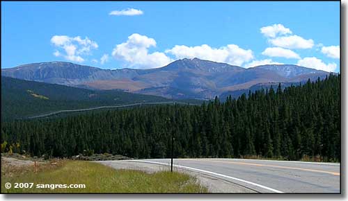
Mount Zion, to the east
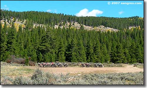
Prepped and waiting for business... just north of Leadville
