
Top of the Rockies Scenic Byway
Leadville to Copper Mountain
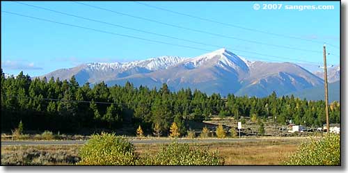
Mt. Elbert, south of Leadville
I left Leadville and headed north on State Route 91 kinda early in the morning. I didn't realize how deep was the Arkansas River Valley in these mountains that I was driving through. As a result, what I thought would be great photos turned out a bit too dark (Photoshop is great but it does have its limits). So I took my time and allowed the sun to rise. By the time I was nearing Climax, the light was pretty good.
As it was late September, there was lots of color through here. I kept getting glimpses to the east of some high mountains but it would be afternoon before the sunlight reached their western slopes to allow me any good photos. I tried anyway, and did get a couple of reasonable shots.
At the summit of the hill above the Climax mine works you'll cross the Continental Divide. Another couple miles and the views open out really big to the west: you'll be right over the tailings ponds for the mine. Far off to the west I could see Mt. of the Holy Cross, Holy Cross Ridge and Notch Mountain. There were some plaques (interpretive signage is the correct term, I think) here in a large turnout describing some of the old mining camps that used to be in that valley to the west, but are no more. There was one plaque that identified all the mountains you can see looking that way. And there was one that went into a bit of detail about the tailings ponds spread out right below that point.
At the north end of State Route 91 is the resort town of Copper Mountain with an excellent 18-hole golf course and some of the best skiing in the United States.
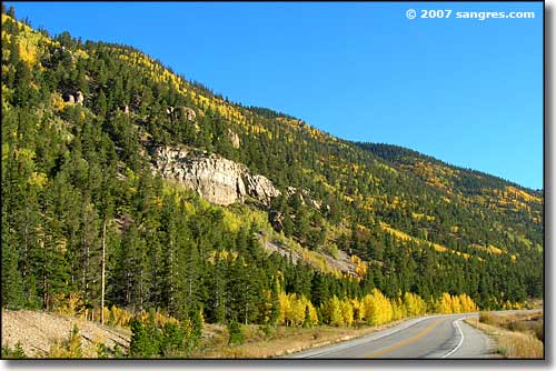
Heading north out of Leadville but before Climax
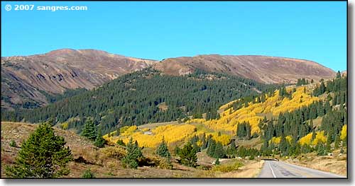
East side of Mt. Zion area, just north of Leadville
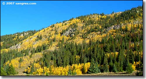
At the western foot of the Mosquito Range, just north of Leadville
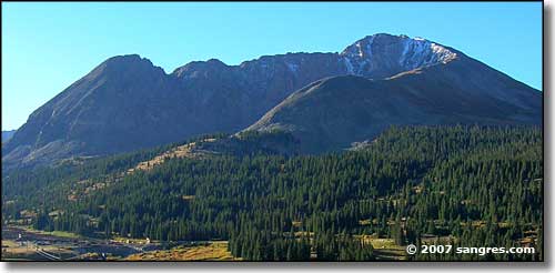
Mt. Arkansas (13,795'), from just south of Climax
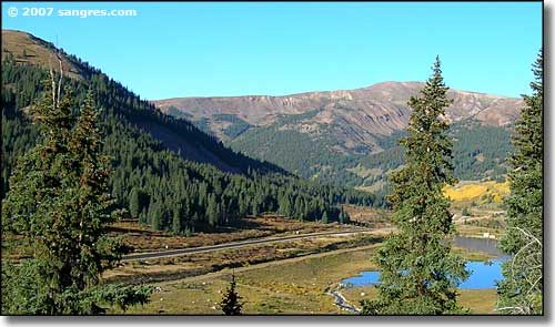
Chalk Mountain to the west, just north of Climax
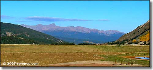
Mount of the Holy Cross (14,005') on Holy Cross Ridge, far to the west
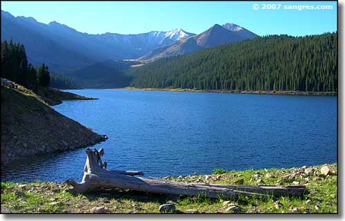
Looking southeast across Clinton Gulch Reservoir
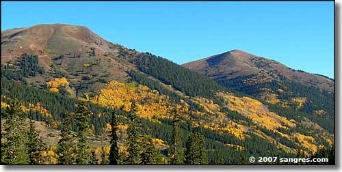
Jacque Peak and Tucker Mountain to the west, just south of Copper Mountain
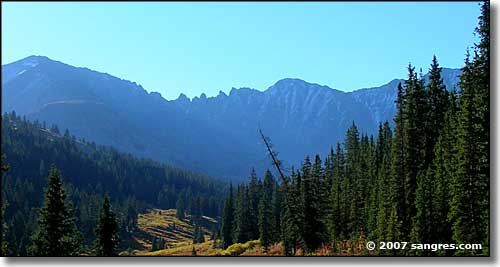
Looking east into the Ten Mile Range, just south of Copper Mountain
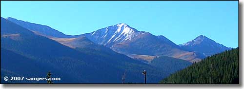
Looking south into the Ten Mile Range from Copper Mountain
