
Cache la Poudre Wilderness
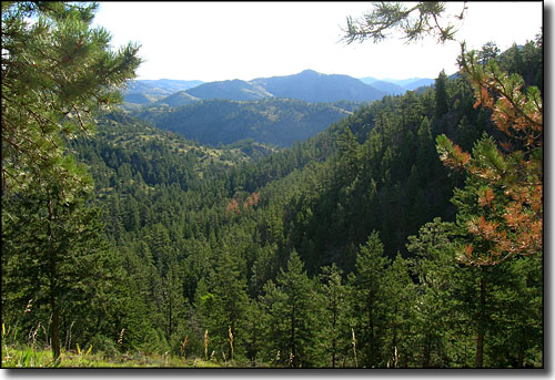
Looking into Cache la Poudre Wilderness from Pingree Park Road
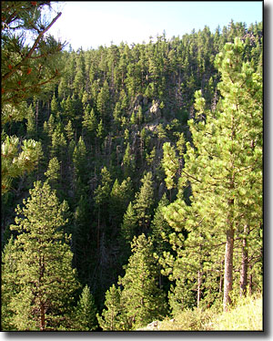
Named for the river that runs at its northern edge, the Cache la Poudre Wilderness was added to the National Wilderness Preservation System in 1980. The 9,400-acre Cache la Poudre Wilderness is characterized by steep, rugged terrain along the Poudre River and the Little South Fork of the Poudre. Nine essentially unreachable miles of the Little South Fork of the Poudre River along with the whole mainstem of the Poudre River above Poudre Park were designated a National Wild and Scenic River in 1986. Elevation ranges from 6,100' to 8,300' and the area is accessible most of the year.
Because of the rugged topography, public use is low and only two maintained trails exist in the Cache la Poudre Wilderness. The Kreutzer Nature Trail is about 2 miles long. The Mount McConnel National Recreation Trail is about 3 miles long and loops off of the Kreutzer Nature Trail. Parking for the trailhead is in a signed parking area near one of the main area campgrounds. Expect to pay for parking (I think it was $5 for the day). Also realize the trail around the east side of Mt. McConnel is in such bad shape as to be almost impassable.
Most travel is accomplished by fishermen, scrambling and bushwhacking along stream bottoms in search of legendary trout fishing, and by big game hunters on the ridges and along game trails. Cache la Poudre Wilderness is primarily montane, quite vertical countryside. Ponderosa and lodgepole pine forests dominate the countryside and mule deer, bear, coyote and mountain lion inhabit the area.
The road south to Pingree Park (and Comanche Peak Wilderness) winds along near the western edge of Cache la Poudre Wilderness for its first few miles. I found a couple nice campsites along there but the topography of the landscape made hiking around for any distance really hard. The views though... almost to die for... and at the southwestern corner of the wilderness is the Baker Creek Picnic Area.
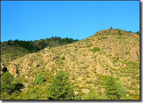
Near the northern edge of Cache la Poudre Wilderness
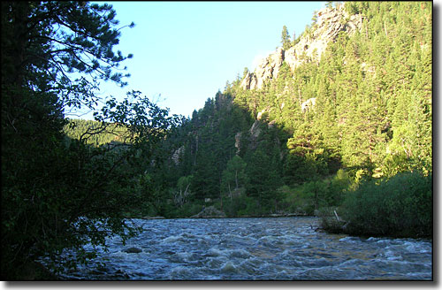
The Cache la Poudre River at the Wilderness boundary
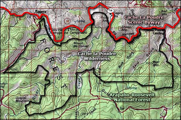
Cache la Poudre Wilderness map
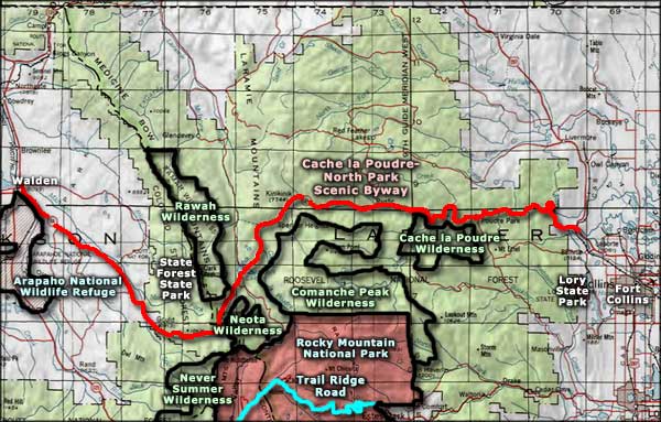
Cache la Poudre Wilderness area map
Selected Hiking Trails
Comanche Peak Wilderness - Never Summer Wilderness - Rawah Wilderness
Neota Wilderness - Arapahoe National Wildlife Refuge - Routt National Forest
State Forest State Park - Lory State Park
National Park Service Sites - BLM Sites - National Wilderness Areas - Unique Natural Features
Outdoor Sports & Recreation - Ski & Snowboard Areas - Photo Galleries - Colorado Mountains
