|
||||||||||||
|---|---|---|---|---|---|---|---|---|---|---|---|---|
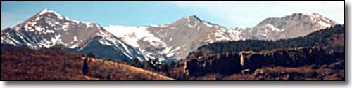
Cuatro PeakSangre de Cristo Mountains - Southern Colorado |
||||||||||||
|
|
||||||||||||
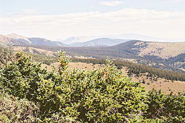
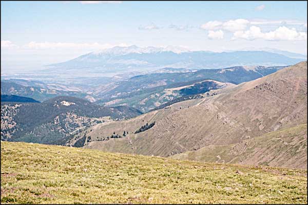
 From left to right: Mariquita, Maxwell and Cuatro. 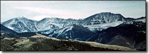 Cuatro Peak (on the right) from the San Luis Valley |
||||||||||||
|
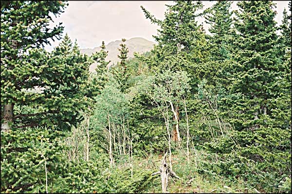
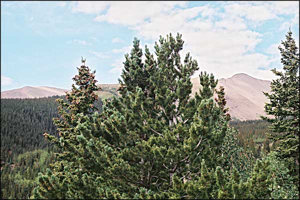
Cuatro Peak is on the boundary between the San Isabel National Forest on its' eastern slopes and private land on its' western slopes. It's part of the backbone ridge of the Culebra Range of the Sangre de Cristo Mountains. The western slope of the mountain marks the uplifted fault line that created the range. There's no trail leading onto Cuatro. We headed north on the North Fork Trail from the Purgatoire Campground. Perhaps a mile into the woods we went left and bushwhacked through the aspens, heading up onto the long southeast ridge of the mountain. We stayed as close as we could to the ridgetop but at times we were forced north onto the angled slopes through the trees. There were game trails everywhere but none of them really went in the direction we were headed. It was bushwhack right up to treeline where we ran into some pretty dense evergreen thickets. Once we cleared the evergreens, it was clear sailing. |
||||||||||||
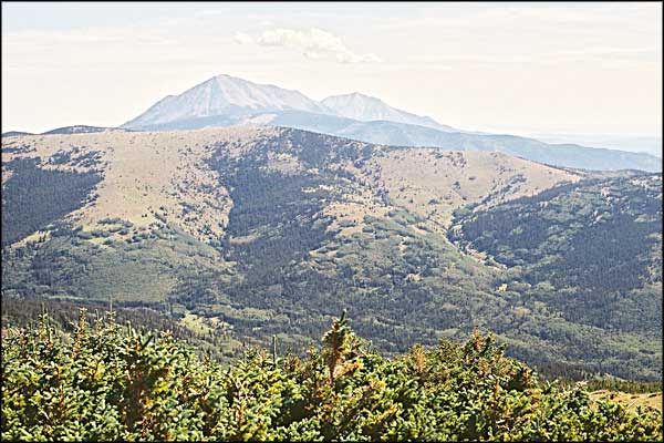
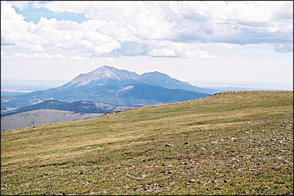
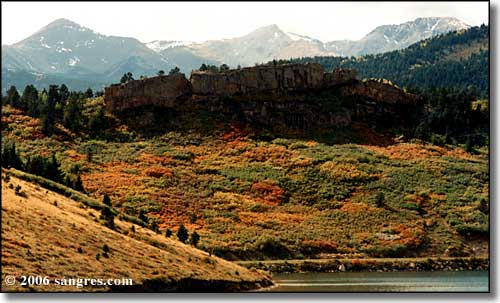 L to R: Mts. Mariquita, Maxwell and Cuatro, North Lake in the foreground |
||||||||||||
|
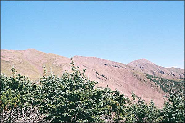
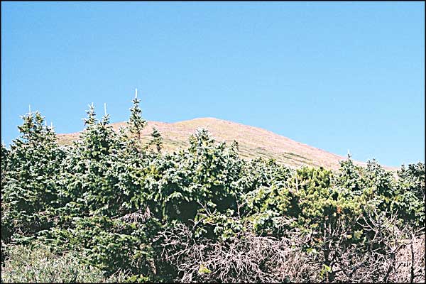
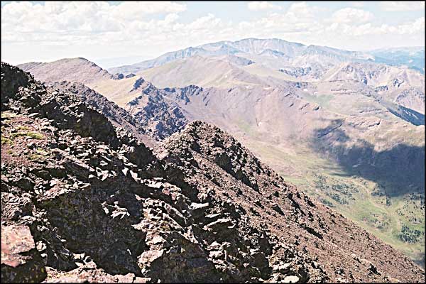
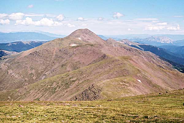
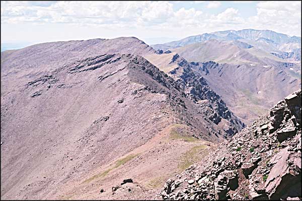
The summit was an almost flat area larger than a couple of football fields. The western slope drops right off, as does the southern slope. As the ridge heads south from the summit it's pretty broken. There are sheep trails that lead across the ramps visible in the broken rock that look to be climbable and, according to notes in the registers on Maxwell and Mariquita, aren't that bad, but I haven't done it yet. There's probably half a mile of that broken rock to cross in getting off the summit of Cuatro and onto the ridge leading to Maxwell. The valley below the western slope is gorgeous but between here and there yawn the pits of hell. The valley on the southern slope (between Cuatro and Maxwell) is actually called "Hell's Canyon." The hike back down was a lot of fun. We stayed near the ridgeline until we got into the evergreen thickets again. Then we started following game trails that looked easy. Ha, ha ha. In places the slope angle had to be close to 70 degrees. We zig-zagged and zig-zagged and zig-zagged some more, holding onto tree trunks in places to keep us standing on the hill. The trip down was shorter but we came out onto the North Fork Trail about 2 miles north of where we first went in. And the angle of the slope was much worse than the angle of the ridge we followed on the way up. Survey tape might have helped but it wouldn't have been as much fun. |
||||||||||||
| Clicking on any of these photos will open a new window or new tab in your browser and bring you a larger version of that photo. |
||||||||||||
| ||||||||||||
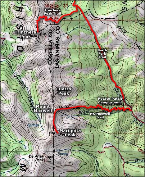 Cuatro Peak area map |
||||||||||||
|
|
||||||||||||
Cuatro Peak Related Pages
Mt. Maxwell - Mt. Mariquita - Trinchera Peak - Potato Patch Campground
Las Animas County - Costilla County San Isabel National Forest PagesColorado Pages
Towns & Places - Scenic Byways - State Parks - BLM Sites - History & Heritage Ski & Snowboard Areas - Photo Galleries - Colorado Mountains - Scenic Railroads Unique Natural Features - Wilderness Areas - Outdoor Sports & Recreation Colorado's National Forests - National Wildlife Refuges - Colorado's National Parks |
||||||||||||

|
||||||||||||
| Index - Arizona - Colorado - Idaho - Montana - Nevada - New Mexico - Utah - Wyoming National Forests - National Parks - Scenic Byways - Ski & Snowboard Areas - BLM Sites Wilderness Areas - National Wildlife Refuges - National Trails - Rural Life Advertise With Us - About This Site - Privacy Policy |
||||||||||||
| Photos courtesy of Sangres.com, CCA ShareAlike 3.0 License. Map courtesy of National Geographic Topo! Text Copyright © by Sangres.com. All rights reserved. |