Bicentennial Highway

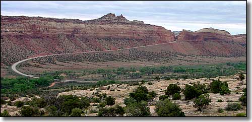
Comb Ridge, along the Bicentennial Highway

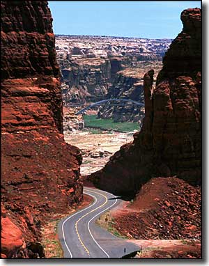
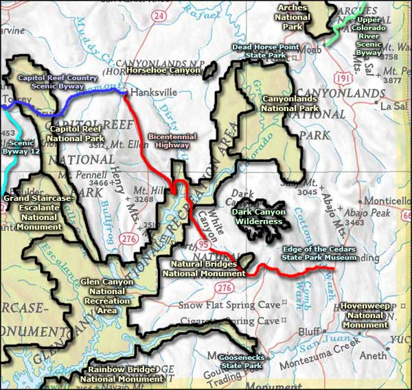
The Bicentennial Highway is a 164-mile route across southeastern Utah that connects Natural Bridges National Monument, Dark Canyon Wilderness and Dark Canyon Primitive Area with the rest of the world. The route runs between the Capitol Reef Country Scenic Byway at Hanksville and US Highway 191. The halfway point is close to the Hite Crossing Bridge over Lake Powell.
This is stark red rocks country, vegetated mostly by junipers, chamisa, cacti, sagebrush and creosotebush. The ancient sandstone landscape has been heavily carved by the forces of wind and water since the Colorado Plateau was uplifted about 65 million years ago. This countryside also contains many ancient Native American constructions and artifacts.
The Bull Creek Pass Back Country Byway heads west from the route between Hite Crossing and Hanksville. Grand Gulch Wilderness Study Area is in the area south of Natural Bridges, west of Trail of the Ancients and east of Utah Highway 276.
The name comes from the fact the road wasn't fully paved until 1976, in time for the United States Bicentennial celebrations. There is only one gas station on the road between Blanding and Hanksville, at Fry Canyon. There is a gas station at Hite Marina that is usually open in the summer. Other than that, this is pretty wide open, unpopulated countryside. Better be prepared before venturing out here...

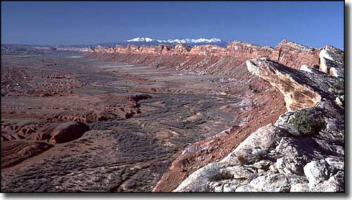
Comb Ridge and Comb Wash, the Abajo Mountains in the background

Bicentennial Highway area map
