Buffalo Bill State Park

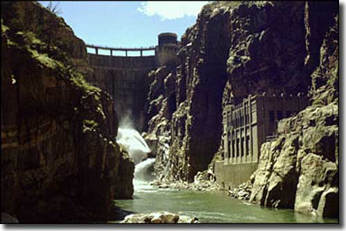
Buffalo Bill Dam from down within the Shoshone River Canyon

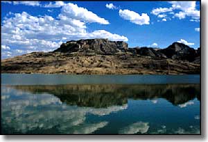
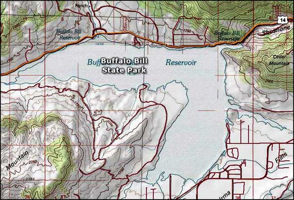
Buffalo Bill State Park is located at Buffalo Bill Reservoir, about 9 miles west of Cody, Wyoming. The reservoir was built at the confluence of the North Fork and South Fork of the Shoshone River. The scenery here, on the edge of the Shoshone National Forest, is dominated by the peaks of the Absaroka Mountains. The Visitor Center offers interpretive exhibits with touch-screen computers giving audio/visual presentations about the area. The park features two developed campgrounds:
North Fork Campground: 56 pull-through campsites and 6 tent-only sites along two loops about 14 miles west of Cody, off the North Fork Highway (US 14, 16 & 20, on the way west to Yellowstone National Park). 14 of the sites can be reserved while the rest are available first come, first served. Within the North Fork Campground is the Trout Creek Group Camping Area. This group area is available by reservation only and features enough parking space for a group of RV's and trailers with extra space for several tents, and a large shelter with tables and grill.
North Shore Bay Campground: This site is about 9 miles west of Cody on the way to Yellowstone and features 29 pull-through campsites, with another 3 back-in and 3 tent-only sites available. Only seven of these sites can be reserved.
All developed campsites have picnic tables and fire grills and are close to rest rooms and water hydrants. The roads and parking areas are paved but there are no showers or utility hook-ups at either campground.
Buffalo Bill State Park also features the Eagle Point Day Use Area on the north shore of the lake. There are picnic tables, grills, water hydrants, and rest rooms available here. This is where the trailhead for the Eagle Point Trail is located. Eagle Point Trail is handicapped accessible and travels along the northern shoreline of the lake.
Buffalo Bill State Park is located about 9 miles west of Cody, Wyoming via US Highways 14, 16 & 20, the main route to the eastern entrance of Yellowstone National Park. Buffalo Bill Dam was built between 1905 and 1910 as part of the Shoshone Project, one of the very first reclamation projects of the Bureau of Reclamation. At the time, the 200-foot-wide and 325-foot-high concrete arch-gravity dam was built, it was the tallest dam in the world. Buffalo Bill Dam is now on the National Register of Historic Places and has also been designated as a National Civil Engineering Landmark.

Buffalo Bill State Park map

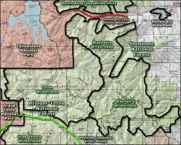
Buffalo Bill State Park area map
Yellowstone National Park - Grand Teton National Park
Shoshone National Forest - Bridger-Teton National Forest - Gros Ventre Wilderness
North Absaroka Wilderness - Washakie Wilderness - Teton Wilderness
