Washakie Wilderness

Washakie Wilderness
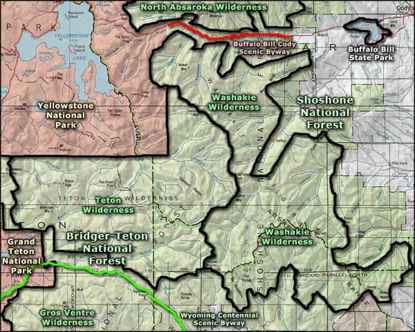
The 704,274 acres of the Washakie Wilderness are split between the Shoshone National Forest and the Bridger-Teton National Forest. In 1972, the Stratified Primitive Area was joined with the South Absaroka Wilderness to form the Washakie, now Wyoming's largest wilderness area. Yellowstone National Park is to the northwest, Teton Wilderness to the west and the Wind River Indian Reservation to the southeast.
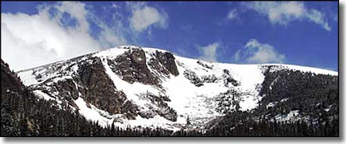
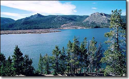
In the southern Absarokas, the mountains are broad and flat-topped. The plateaus are cut by narrow valleys that expose the horizontal volcanic strata underneath, which is often eroded into the irregular steps of cliffs and buttes. Elevations range from a low of about 6,600' to a high of 13,153' at Franc's Peak, with several 12,000'+ peaks scattered through the wilderness. About half the wilderness is forested, the remainder rough and barren with sparse vegetation. You can find petrified forests and fossils all through the mountains, but there aren't very many lakes. The stream fishing is excellent with several different species of trout well represented. Hunters come in season for the moose, elk, deer, black bear, and bighorn sheep. But these woods are also full of grizzly bears, mountain lions and wolves, so you'll want to be prepared no matter what the season.
The Washakie Wilderness has many miles of trails, all in varying states of repair with various use levels in the different seasons, but the forests are relatively open and off-trail hiking is reasonably easy, just bring good maps, a good compass and maybe a decent GPS device (but don't be counting on your cell phone out here). The higher country can see snowfall on any day of the year, late summer can see lots of rain. A hot summer's day is in the low 80's, while a cold winter can see -40's for days on end.


Washakie Wilderness area map
