Buffalo Bill Cody Scenic Byway

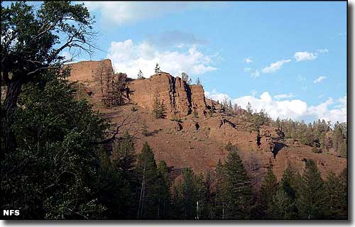
Rock formations above the Buffalo Bill Cody Scenic Byway

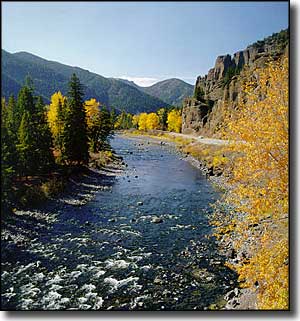
The Buffalo Bill Cody Scenic Byway follows US Highways 14, 16 and 20 for the trip across Shoshone National Forest between Cody and the eastern entrance to Yellowstone National Park. The route passes through the scenic Wapiti Valley by following the North Fork of the Shoshone River for about 27.5 miles. This, too, is incredible countryside, following the canyon cut by the river over millions of years through the backbones of the Absaroka and Beartooth Mountains on the east side of the Yellowstone Caldera. Depending on the traffic level in summer, you could take a couple hours to drive this road... but what a beautiful couple hours.
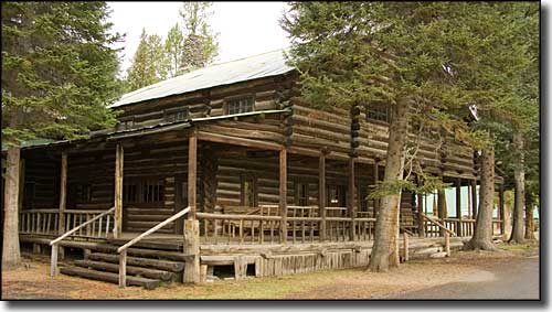
A few miles east of the Yellowstone National Park entrance is Pahaska Teepee, a historic site built by Buffalo Bill Cody in the early 1900's as a hunting lodge and resort hotel. The Teepee is now on private property but the folks sometimes give tours and they still operate a resort around it.
If you are interested in camping anywhere along this very scenic route, do it only in the designated campgrounds, or make the couple-mile hike into the woods to get well within the boundaries of the surrounding wilderness areas. This is also an area that has a very strict regimen in regards to open fires: think about it before you take on that responsibility. Folks still remember the disasters that came with the big Yellowstone fires in 1988.

Pahaska Teepee

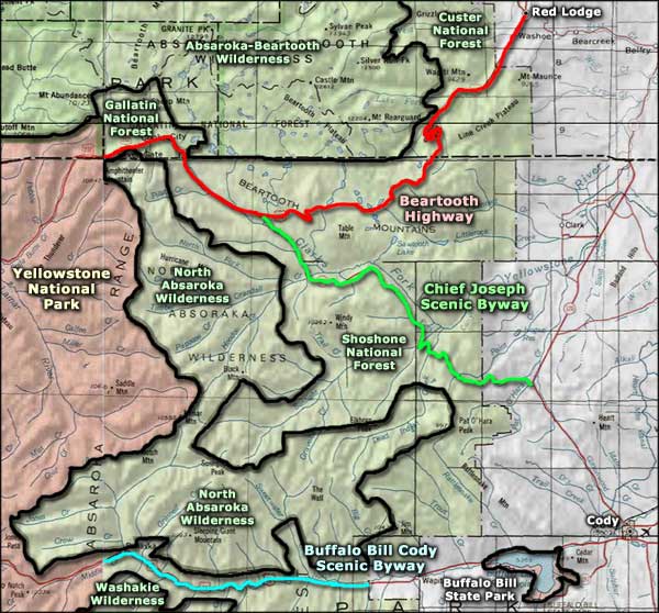
Buffalo Bill Cody Scenic Byway area map
Beartooth Highway - Chief Joseph Scenic Highway - Yellowstone National Park
Washakie Wilderness - Absaroka-Beartooth Wilderness
Custer National Forest - Gallatin National Forest
