
Aravaipa Canyon Wilderness
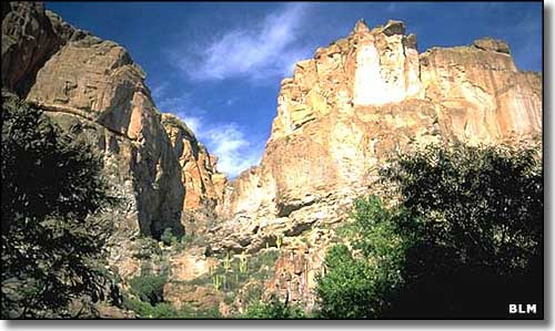
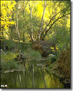
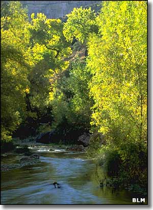
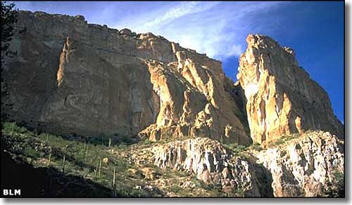
The narrow and twisting Aravaipa Canyon in the Aravaipa Canyon Wilderness area is a biological treasury and scenic wonder. Aravaipa Creek has spent many, many years cutting a trough up to 1,000' deep into the rock of the Galiuro Mountains, leaving carved canyon walls painted with subtle sandy colors. Springs, seeps and tributary streams help the creek to flow all year round, supporting southern Arizona's most lush riparian habitat. The main canyon runs about 11 miles, and the 19,700-acre Aravaipa Canyon Wilderness extends well beyond that main canyon to include 9 side canyons and the surrounding tablelands. Aravaipa Creek carries 7 different species of native desert fish, 2 of which are on the federal list as endangered species: the loach minnow and the spikedace. There are at least 238 species of birds found in the area in addition to an extensive array of large and small mammals and reptiles, including a significant herd of Desert Bighorn sheep. Elevations vary from about 2,800' at the bottom of the west end of Aravaipa Canyon to 6,150' on top of Table Mountain.
The Aravaipa Canyon Preserve is a Nature Conservancy property of about 7,000 acres that spans both the east and west ends of Aravaipa Canyon and also includes deeded lands intermixed with the Bureau of Land Management's 35,000-acre property on the south rim.
To visit Aravaipa Canyon Wilderness and take a walk in this spectacular place, you'll want to make an advance reservation (at least 13 weeks in advance) and get a permit: this canyon has had an overuse problem since the 1960's. The permit system allows folks to enjoy the solitude while also reducing the human impacts on the environment in this very sensitive area of southern Arizona. Access is limited to 50 people per day: 20 entering from the east end of Aravaipa Canyon, 30 entering from the west end.
There are no marked or maintained trails, but there is a well-worn path along the bottom of the canyon, crossing the creek in several places. At times, the canyon is so narrow that wading in the stream is your only option. Figure on a strong hiker taking about 10 hours to get from one end of Aravaipa Canyon Wilderness to the other.
Aravaipa Canyon is subject to flash flooding in the summer and winter rainy seasons. If that is when you intend to visit, you may want to check weather and road conditions (especially near the east trailhead) before you get there. If you are camping in the canyon, be up on high ground, above the canyon bottom and away from any of the outlets of the other canyons in the area. You also want to be checking the water flow in the creek: it usually runs clear but if you start to see cloudy or muddy waters, get up the hill, quickly. Flood waters can be coming from many miles away and can stay high for hours or days. You might want to carry extra food and drinking water, just in case.
And remember that several species of rattlesnakes inhabit this area. I'd be careful as to where I put my hands and feet. Snakes tend to be most active during the day in spring and fall, and in the evening in summer. They generally only get aggressive when they are provoked.
As far as weather at Aravaipa Canyon goes, winter days can be cold but freezing temperatures are very rare. Summers can see temperatures near 100°. The west end of Aravaipa Canyon tends to be about 10° warmer than the east end. Water temperature in the stream runs 8-10° cooler than the air. In the winter time especially, you don't want to be wearing cotton socks or pants because every time you walk through the stream, that cotton will start taking away your body heat. Wool socks with sock liners that wick away the moisture will feel much better.
To make reservations to visit Aravaipa Canyon Wilderness: call the BLM Safford Field Office at 928-348-4400. The Aravaipa Canyon Wilderness is open daily, year-round. The Nature Conservancy allows pedestrian access to the Preserve only with prior authorization from Aravaipa Canyon Preserve staff. To get to the Wilderness, vehicles must follow the road which crosses Nature Conservancy property (and also crosses Aravaipa Creek several times). The road is gravel, can be rough at times and is often closed when it's wet. High clearance and 4WD is highly recommended. All visitors are asked to stay on the road across the Preserve until they come to the Aravaipa Canyon Wilderness parking lot (it's well marked). No dogs, horses, firearms, fishing, hunting, off-road entry, picnicking, camping or campfires are allowed on the Preserve. At the west end of Aravaipa Canyon camping is allowed at the tiny Brandenburg Campsite, across from the Brandenburg Ranger Station. Space is very limited, no fires are allowed but there are rest rooms and trash barrels. There are 2 camping areas available at the east end of Aravaipa Canyon. About a mile southwest of the Klondyke store you'll find the Fourmile Canyon Campground: 10 sites, grills, picnic tables and $5 per night. Near the east wilderness entrance you'll find the Turkey Creek Camping Area: no facilities, no fees, a few purely primitive scattered camping sites. Camping in the Aravaipa Canyon Wilderness is by permit only.
To get to Aravaipa Canyon Wilderness from Phoenix: follow US 60 to Superior, then take SR 177 to Winkelman. At Winkelman turn south on SR 77 and go 11 miles to Aravaipa Road. Follow Aravaipa Road 12 miles east to the trailhead on the west side of the Wilderness. To get to the east side of the Wilderness find your way to Klondyke and then keep going west.
USGS Maps: 7.5 minute: Brandenburg Mountain, Booger Canyon, Oak Grove Canyon, Holy Joe Peak
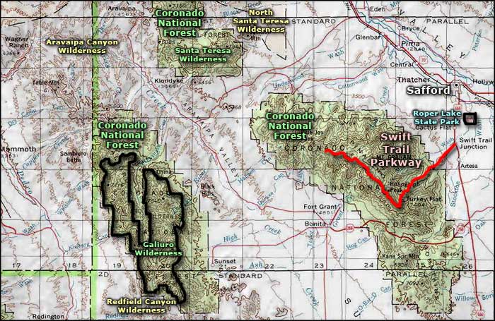
Aravaipa Canyon Wilderness area map
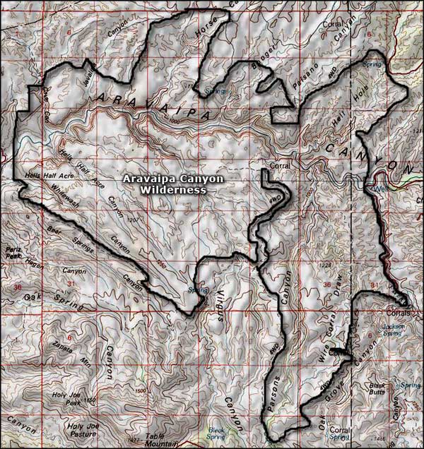
Aravaipa Canyon Wilderness map
