White Canyon Wilderness

In White Canyon Wilderness

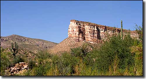
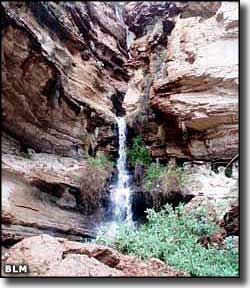
This 5,790-acre property in the southeastern part of the Mineral Mountains is centered around the scenic and intricately carved White Canyon, which runs north-to-south across the middle of the Wilderness. The canyon itself is narrow with walls rising as much as 800' almost straight up. Because of those vertical faces, White Canyon Wilderness attracts quite a few rock climbers. Throughout the area you'll find numerous side canyons and delicate, eroded formations of rock. The canyon bottoms tend to be covered with sand, slickrock, willows, chaparral and saguaros fed by a perennial stream. Near the southern boundary of White Canyon Wilderness is an enormous amphitheater-like escarpment called "the Rincon." In monsoon season, you might see waterfalls pouring over the sides of the canyon's rim and cascading down the sculpted terraces. Be careful of the mountain lions and the black bears.
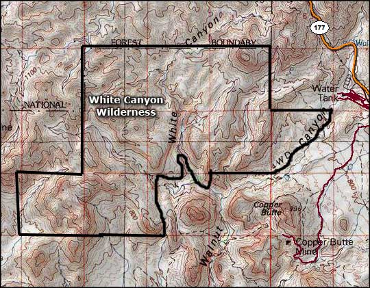
SR 177 connects Superior with Winkelman. On SR 177, about 1/2 mile south of milepost 159, go west on Battle Ax Road (high clearance 4WD recommended). Exactly 2 miles from the highway make a right on the dirt road that heads into Walnut Canyon. You'll go through about 3 miles of some pretty bad road in the large drainage basin that is Walnut Canyon before you reach the White Canyon Wilderness boundary (many folks stop at the boulders in the washed-out road and hike the last 3/4 mile to the wilderness boundary signs).
USGS Maps: Mineral Mountain, Teapot Mountain

White Canyon Wilderness map

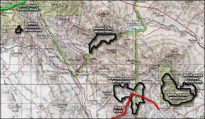
White Canyon Wilderness area map
