
San Luis, Colorado
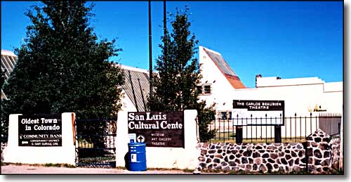
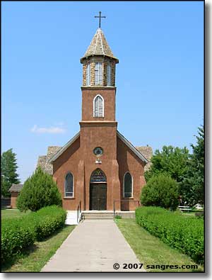
San Luis, the county seat of Costilla County, is located on Colorado Highway 159 in the San Luis Valley of southern Colorado, about 35 miles southeast of Alamosa. A picturesque little town, it lies at the mouth of the valley of the Ventero, at the foot of Culebra Peak.
San Luis was part of the Sangre de Cristo Land Grant, originally owned by Carlos Beaubien (who was also one of the original grantees of the Maxwell (Beaubien-Miranda) Land Grant). He convinced 50 families to move here and San Luis was officially founded on April 9, 1851. While it is the oldest surviving settlement in Colorado, it was not the first.
The setting of San Luis is beautiful: surrounded by lush green fields at the foot of the Sangre de Cristo Mountains on the east. Just to the south and east of San Pedro Mesa is Sanchez Reservoir and Sanchez State Wildlife Area. Just to the west are the San Luis Hills with the San Juan Mountains acting as a backdrop. To the north is the Blanca Massif.
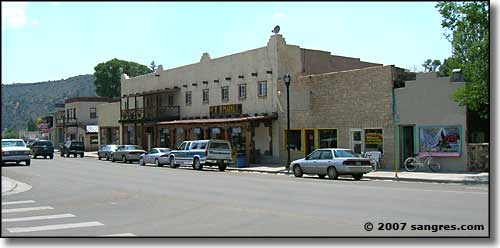
Downtown San Luis
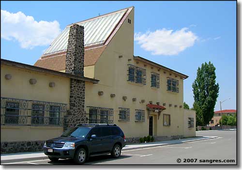
Carlos Beaubien Theatre
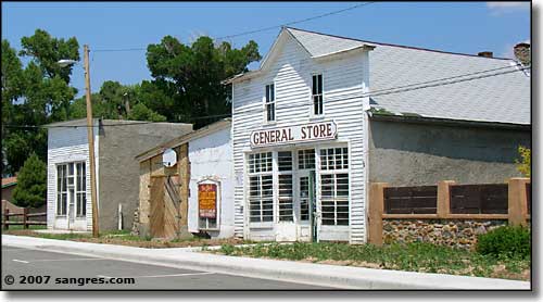
On the old plaza
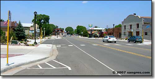
Coming into San Luis from the south
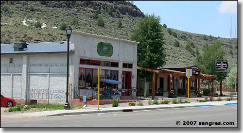
Next to the Stations of the Cross, across from Town Hall
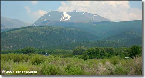
Looking east up the valley of Culebra Creek
The Sangre de Cristo Land Grant covered the whole of what is now Costilla County. San Luis is at the opening of the valley of Culebra Creek into the greater San Luis Valley. The first settlers actually started out up the Culebra from San Luis, looking to get closer to the mountains where there was more timber, firewood, wildlife, water for irrigation and fields to irrigate. This was a communal situation and the People's Ditch was the first public works project in Colorado. Over the years they spread out more in the valley of the Culebra, founding Chama, San Pablo, San Francisco, San Acacio, Mesita, and San Luis.
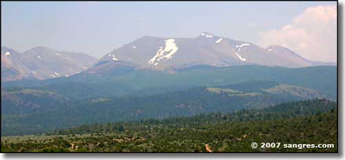
Culebra Peak from east of Chama
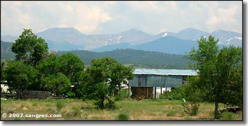
Red Mountain, Purgatoire and Vermejo Peaks, from east of Chama
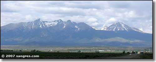
The Blanca Massif and Mt. Lindsey, from just north of San Luis
Latitude: 37.202°N
Longitude: 105.4224°W
Established: 1851
Elevation: 7,979'
Education:
High School or Higher: 55.9%
Bachelor's Degree or Higher: 10.0%
Graduate or Professional Degree: 3.2%
2011 Cost of Living Index for San Luis: 91.8
Median Resident Age: 42.6 Years
Estimated Median Household Income: $18,200
Estimated Median Home Value: $97,820
Major Industries:
Government, Construction, Retail Services, Educational Services, Agriculture, Natural Resources, Waste Management Services, Real Estate Services, Professional Services
Unemployed (March 2011): 15.6%
Population Demographics: 2010
| Total Population | 629 |
| Males | 323 |
| Females | 306 |
| Population by Age | |
| Under 18 | 143 |
| 18 & over | 486 |
| 20-24 | 30 |
| 25-34 | 56 |
| 35-49 | 103 |
| 50-64 | 139 |
| 65 & over | 138 |
| Population by Ethnicity | |
| Hispanic or Latino | 530 |
| Non Hispanic or Latino | 99 |
| Population by Race | |
| White | 384 |
| African-American | 9 |
| Asian | 2 |
| Native American | 18 |
| Hawaiian or Pacific Islander | 0 |
| Other | 185 |
| Two or more | 31 |
Great Sand Dunes National Park - Los Caminos Antiguos Scenic Byway
Mt. Blanca - State Trust Lands & Wildlife Areas - San Luis Valley
Sangre de Cristo National Heritage Area
National Park Service Sites - BLM Sites - National Wilderness Areas - Unique Natural Features
Outdoor Sports & Recreation - Ski & Snowboard Areas - Photo Galleries - Colorado Mountains
