
Los Caminos Antiguos Scenic Byway
The Rio Grande to Fort Garland
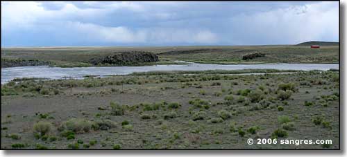
Looking southeast across the Rio Grande
All of Costilla County was originally Spanish Land Grants but over the last 150 years these communally owned territories have been broken up and sold and are now mostly massive subdivisions with roads gridding out huge sections of the flatter areas of the Valley in Costilla County. By no means does this indicate that Costilla County is a prosperous area, Costilla County is the poorest county in all of Colorado (Conejos County being the 2nd poorest). The wealth primarily lies in the original settlers' heritage and the beauty of the landscape.
Once across the Rio Grande (which is the county line), the ground changes and gets flatter. About ten miles to a sweeping curve to the north, then two miles to another turn to the east and then you come to San Acacio. At one time San Acacio was a small town on the Denver & Rio Grande Western with a nice station house. There was a spur line from Blanca through San Acacio to Mesita, carrying agricultural goods out of the Valley. When the railroad was abandoned, San Acacio almost dried up and blew away. South and east of here is what remains of Viejo San Acacio, the original Hispanic settlement. The builders of the D & RGW had a habit of running their tracks several miles from established towns and forcing the folks who did business with them to build new towns next to the tracks on land owned (and sold) by the railroad. Usually, this killed the old settlements.
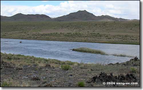
Looking northeast across the Rio Grande at the Brownie Hills in Costilla County
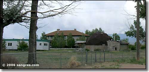
A geodesic dome in front of the old San Acacio station house

Looking west in downtown San Acacio
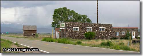
Looking east on the way out of town
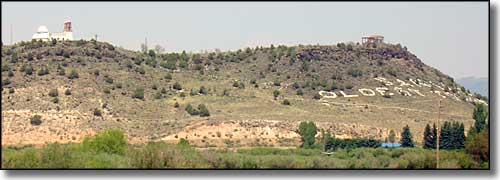
The Chapel of the Stations of the Cross Shrine, on the hill above San Luis
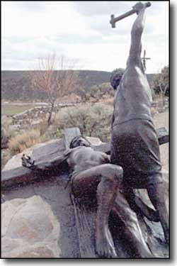
A couple of miles west of San Luis you come into irrigated farm land again and the entrance into San Luis is really pretty. On that hilltop just north of the road you can see the chapel at the end of the trail leading through the famous Stations of the Cross Shrine.
Driving north from San Luis, the horizon is dominated by the Blanca Massif: a mound of 1.8 billion-year-old granite rising to more than 14,000 feet in spots. Mt. Lindsey (to the right in the photo below) is the same kind of rock but is separated a bit from the main part of Mt. Blanca and also reaches to over 14,000 in elevation. The southern slopes of these mountains is all private land and the owners do not allow access to climbers. Lindsey is actually completely private land but the owners do allow access from the north across the ridge connecting the mountain with the Sierra Blanca (that ridge between Blanca and Lindsey). No Colorado vacation would be complete without a drive and a few stops along this beautiful and historic Scenic Byway.
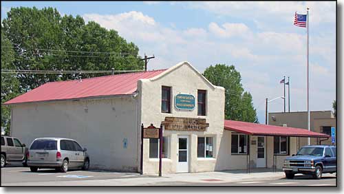
At the “T” intersection in San Luis, Colorado: San Luis Town Hall
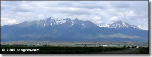
The high points, from left to right: Little Bear, Blanca Peak, Mt. Hamilton, the Iron Nipple and Mt. Lindsey
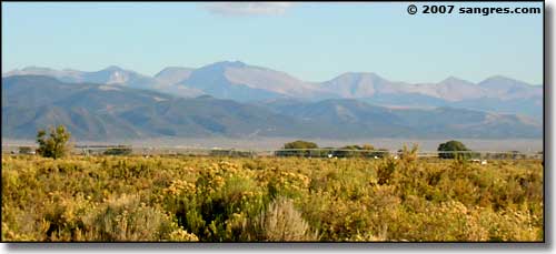
Culebra Peak, from Fort Garland
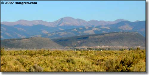
Trinchera Peak, from Fort Garland
