
Collegiate Peaks Scenic Byway
Buena Vista to Top of the Rockies
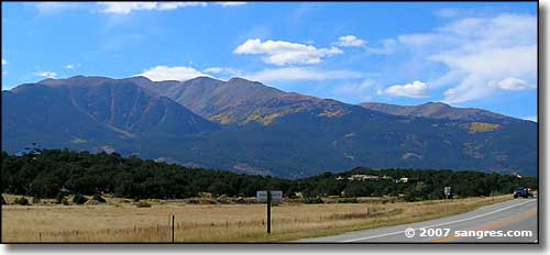
Mt. Columbia
Heading north out of Buena Vista, the valley starts to close in some. The countryside to the east takes on more character and slowly, you start to gain elevation. Just east of the highway is the old Union Pacific track that eventually makes it's way past Leadville and then on into Minturn. It looks like a narrow gauge track (to me, anyway) that hasn't been in use for a long time.
There was a time when this part of Colorado was much more heavily populated. In the early days of Colorado Territory, this area was all part of Lake County and in addition to all the mining that went on in these mountains, in the lower elevations were large cattle ranches and farms, all dependent on the water that flowed down the small streams. Around the time of Colorado Statehood, a "war" was fought in this area over that water... and when the shooting finally stopped, even the judge who oversaw most of the water cases was dead. The whole thing led to the dismemberment of Lake County and a lot of local political and judicial "power" was transferred "down the hill" to Salida. Eventually, the mines petered out and the miners (who supported all the cattle and farming operations in the area) left.
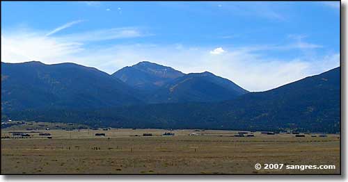
Mt. Yale
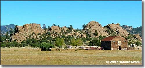
A bit of character just east of the highway, just north of Buena Vista
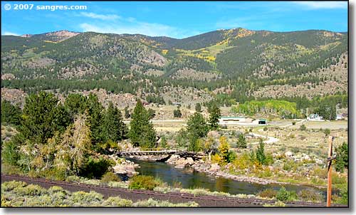
The Buffalo Peaks Wilderness Area is just east of that upper ridge
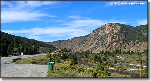
Union Pacific tracks, just south of Granite, the valley is closing in
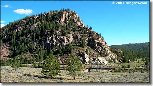
A nice chunk of granite east of the road, notice the railroad bridge at its foot
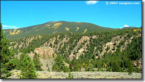
Another view to the northeast
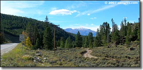
Just above Granite, Mt. Elbert in the distance,
this is where the old stage road to Leadville heads north over the hills
