 |
|---|
Mount PrincetonSawatch Mountains |
|
|
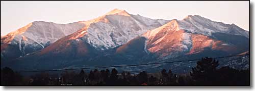 Mt. Princeton from Buena Vista |
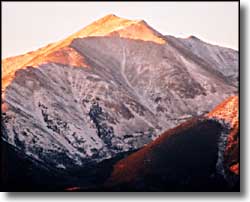
Mt. Princeton is the southernmost and most visible of the Collegiate Fourteeners. Its summit is less than 9 miles southwest of Buena Vista, rising abruptly out of the Arkansas River Valley. Most folks climb the mountain via the 4x4 road that ascends the mountain on the east side to treeline at about 11,800'. Then they follow a trail that leads towards an old mine but don't follow the trail to the end. Leave the trail between 12,700 and 12,900 feet and climb the talus up to Princeton's southeast ridge. Follow the ridge to the summit. There is another trail from the Grouse Canyon Trailhead that climbs Princeton's southwest ridge, traversing over the top of Point 13,971. |
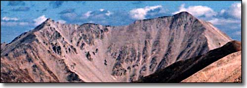 Mt. Princeton from the south - Point 13,971 on the left 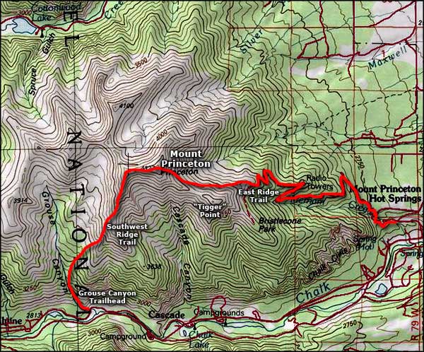 Mount Princeton area map |
|
|
Mt. Princeton Related PagesSan Isabel National Forest PagesColorado Pages
Towns & Places - Scenic Byways - State Parks - BLM Sites - History & Heritage Ski & Snowboard Areas - Photo Galleries - Colorado Mountains - Scenic Railroads Unique Natural Features - Wilderness Areas - Outdoor Sports & Recreation Colorado's National Forests - National Wildlife Refuges - Colorado's National Parks |

|
| Index - Arizona - Colorado - Idaho - Montana - Nevada - New Mexico - Utah - Wyoming National Forests - National Parks - Scenic Byways - Ski & Snowboard Areas - BLM Sites Wilderness Areas - National Wildlife Refuges - National Trails - Rural Life Advertise With Us - About This Site - Privacy Policy |
| Photos courtesy of Sangres.com, CCA ShareAlike 3.0 License. Map courtesy of National Geographic Topo! Text Copyright © by Sangres.com. All rights reserved. |