|
|||||||||
|---|---|---|---|---|---|---|---|---|---|
Mt. ShavanoSawatch Mountains |
|||||||||
|
|
|||||||||
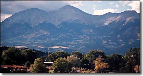 Mt. Shavano from east of Salida |
|||||||||
|
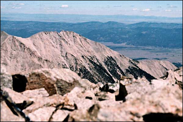
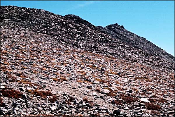
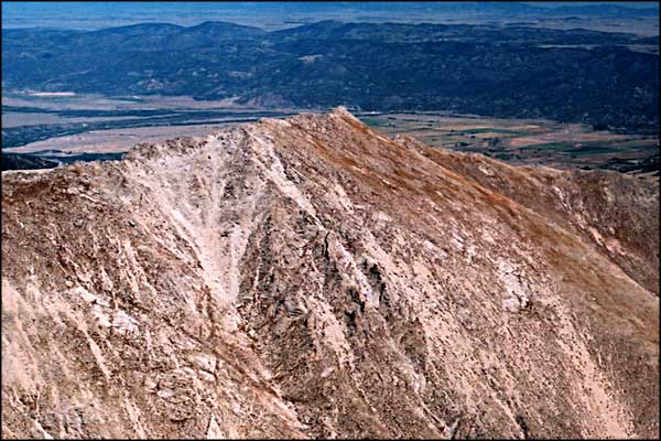
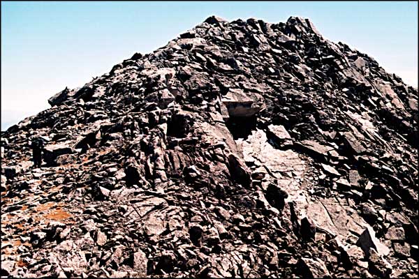
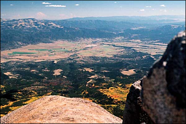
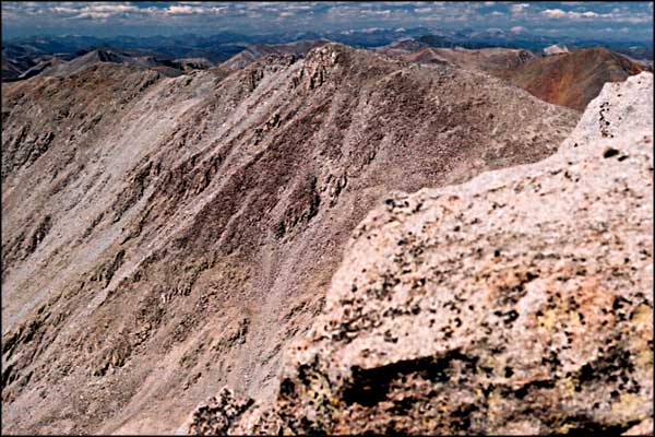
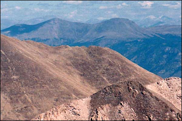
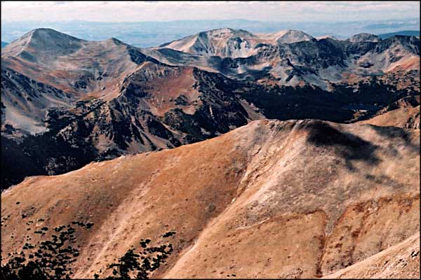
September 2001. Bill and I reached the top of Tabeguache Peak with no problem. So we sat a bit and looked around, took some photos and discussed continuing on to the top of Shavano. From the summit of Tabeguache to the saddle is a quarter mile, and lose 450 feet in elevation. The ridge onto Shavano rose for three-quarters of a mile, and 550 feet up from there. Once we begin, the only way back to the car is by climbing back over the top of Tabeguache. It turned out to be quite the journey for us. There's no real trail down the east side of Tabeguache so we were picking our way through the talus to get to the saddle. From there the trail going up Shavano's northwest ridge was pretty clear. The only problem in the long uphill walk was the knob then false summit then knob then false summit, six times before we got to the actual summit. The view was great but the journey back was long and hard, especially the pull up and over Tabeguache's summit again. But we went back down the same way we went up, just a lot more tired. We made it down through the pea gravel without a problem and arrived at the truck at 5:15 pm - eight and a half hours on the mountain. Great day. The Forest Service has officially closed the route up Tabeguache that we took for this climb. The new standard route to climb Tabeguache climbs over Shavano from the southeast (Angel of Shavano Trail) and requires a return back over the top of Shavano. |
|||||||||
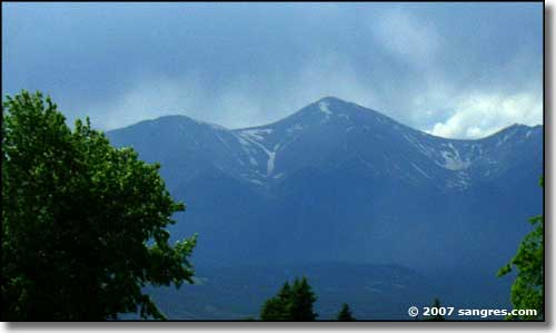 The Angel of Shavano - late spring, 2007 |
|||||||||
| Clicking on any of these photos will open a new window or new tab in your browser and bring you a larger version of that photo. |
|||||||||
| |||||||||
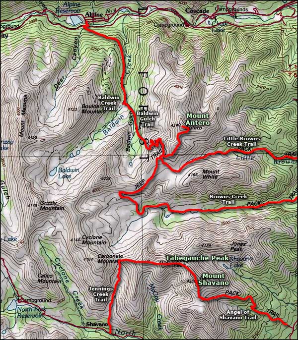 Mount Shavano area map |
|||||||||
|
|
|||||||||
Mt. Shavano Related PagesSan Isabel National Forest PagesColorado Pages
Towns & Places - Scenic Byways - State Parks - BLM Sites - History & Heritage Ski & Snowboard Areas - Photo Galleries - Colorado Mountains - Scenic Railroads Unique Natural Features - Wilderness Areas - Outdoor Sports & Recreation Colorado's National Forests - National Wildlife Refuges - Colorado's National Parks |
|||||||||

|
|||||||||
| Index - Arizona - Colorado - Idaho - Montana - Nevada - New Mexico - Utah - Wyoming National Forests - National Parks - Scenic Byways - Ski & Snowboard Areas - BLM Sites Wilderness Areas - National Wildlife Refuges - National Trails - Rural Life Advertise With Us - About This Site - Privacy Policy |
|||||||||
| Photos courtesy of Sangres.com, CCA ShareAlike 3.0 License. Map courtesy of National Geographic Topo! Text Copyright © by Sangres.com. All rights reserved. |