 |
Santa Fe National Historic Trail
|
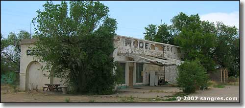 The Model Mercantile |
Scattered along the Santa Fe Trail are all kinds of little settlements that sprang up and then dried up and blew away, sort of. Most of them came along after the Trail itself was history. What turned most of these towns into ghost towns was the advent of corporate farming, large scale mechanization and the long-term drought cycles (think "Dust Bowl"). When I say "long-term drought cycles," there seems to be a big dry cycle every 33 to 37 years, with smaller dry cycles every 5 to 7 years. They seem to coincide roughly with el niño and la niña events and sunspot cycles. At one time, there was a lot of local farming going on on the homesteaded lots but with large-scale abandonment of the land during long drought events, ownership of most of the land reverted to either the banks or the federal government. Then when the rains came back, large-scale cattle operations picked it up for pennies on the dollar. I also think some of these towns came into being when the old steam locomotives still ran, because there are still remnants of old water standpipes in places. And names like Thatcher, Houghton and Bloom are from the original cattle barons who owned these lands and ran cattle on them. I'm only showing photos from the larger ruins left around. The school at Thatcher actually has folks living in it, trying to stabilize what's left of the original building but the rear half of the roof is gone and there's just a shell to work with back there. The school in Timpas is in much better shape and the older gentleman who now owns it took me for a guided tour of what's inside. For many years, after most of town was abandoned, local ranchers used the building to house immigrant workers and the "new" owner has spent a lot of time fixing things and working to make half the building livable. He's done a pretty nice job while still trying to maintain some of the school artifacts as they were, or at least as he found them. So some of these settlements aren't completely ghost towns, but they're awful close... |
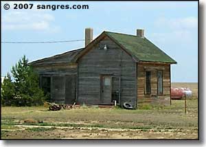
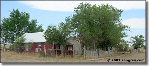 Model was still occupied not that long ago 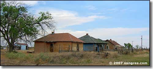 Ranch and/or farm hands housing in Model 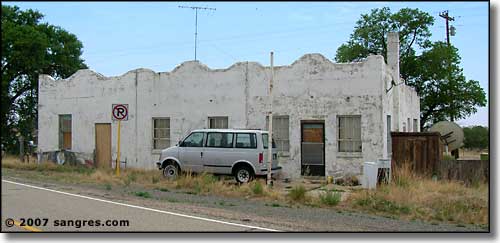 Another part of the Model business establishment 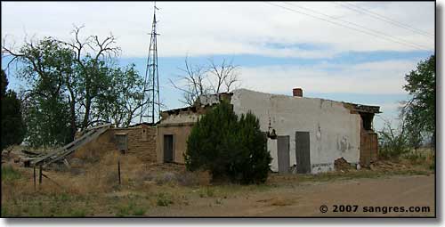 Downtown Tyrone, Colorado 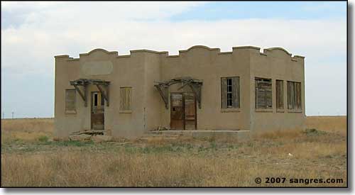 Across the tracks from downtown Tyrone 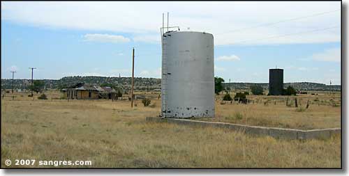 The Thatcher water system 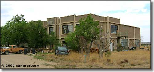 The Thatcher Schoolhouse 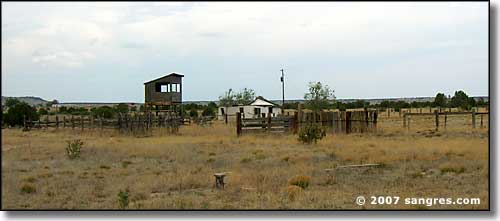 Rodeo grounds next to the school in Thatcher 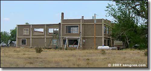 Thatcher Schoolhouse, from the west 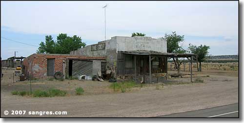 Delhi, Colorado 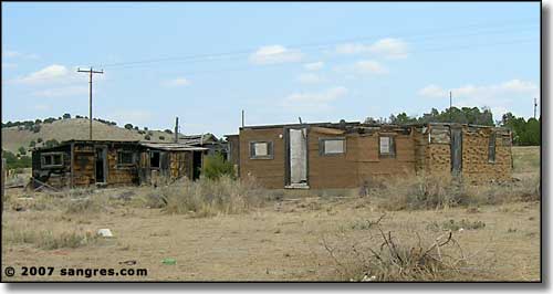 More of the Delhi business district 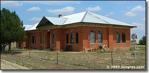 The Timpas School |
|
Today, the area between Trinidad and La Junta is "under the gun" from the US Army. Back in 1983, the Piñon Canyon Maneuver Site (about 243,000 acres) was established (through the use of eminent domain) to give the troops from Fort Carson (Colorado Springs) a "training site for maneuvers" that quickly became a live-fire training playground. As of 2007, the Army is seeking to expand that by about 420,000 acres (in 2011 the Army is still trying to do something here, there's just no money in the Treasury after giving everything to the greedy bankers and refusing to tax the wealthy for their fair share...) The maps I've seen of the proposed expansion look as though they stuck a pin in the map in the center of the existing site and just drew a circle encompassing everything they'd like to have. There is lots of opposition to this at the state and local level but if it gets rammed through, all of the ghost towns between Trinidad and La Junta will be swallowed up, as will the Picketwire Canyonlands dinosaur tracksite. And why? Because it looks just like those parts of the Middle East that aren't buried in sand. But that's another story... So much of our local history has been destroyed to avoid paying taxes on the buildings or to "keep the squatters out." What I'm showing here is some of what's left along the remnants of the Mountain Branch of the Santa Fe Trail in southeastern Colorado. |

|
| Index - Arizona - Colorado - Idaho - Montana - Nevada - New Mexico - Utah - Wyoming National Forests - National Parks - Scenic Byways - Ski & Snowboard Areas - BLM Sites Wilderness Areas - National Wildlife Refuges - National Trails - Rural Life Advertise With Us - About This Site - Privacy Policy |
| Photos courtesy of Sangres.com, CCA ShareAlike 3.0 License. Text Copyright © by Sangres.com. All rights reserved. |