 |
Santa Fe National Historic Trail
|
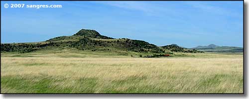 Coming up on the Point of Rocks, from the south |
|
The Cimarron Cutoff Branch of the Santa Fe Trail headed northeast from Wagon Mound to east of Springer and then cross-country to the Point of Rocks. Much of the Trail consisted of short sections connecting water holes, vantage points and natural landmarks. The Point of Rocks was a significant landmark at the southern edge of the Raton-Clayton Volcano Field (although they didn't call it that back then). As a traveller with a wagon train on the Trail, you didn't want someone as a Trail Boss who had just made a trip during the good, easy times. You wanted some guy who'd made the journey back and forth in the hardest of times, because he knew where everything was along the route, including the water holes you go to when there's nothing else out there. This same hard-timer would also know how to get back to the main route of the trail from wherever you might have gotten off to, because he knows the landmarks... When the Civil War came along, the Comanches stepped up their raids against travelers on the Cimarron Cutoff. With no Army support of any kind, traffic along that route essentially stopped by 1861... and it never did resume. |
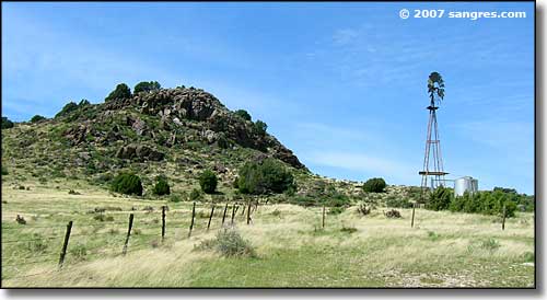 At the Point of Rocks 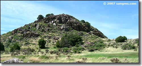 There were springs all around the bottom of this lava outcropping 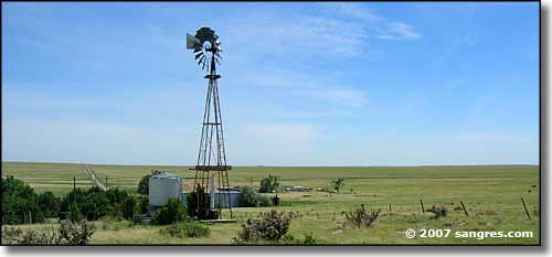 Looking towards Santa Fe 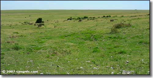 Wagon wheel ruts 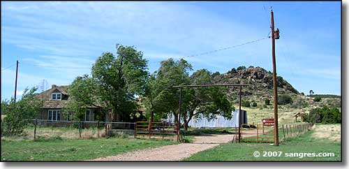 Point of Rocks Ranch |

|
| Index - Arizona - Colorado - Idaho - Montana - Nevada - New Mexico - Utah - Wyoming National Forests - National Parks - Scenic Byways - Ski & Snowboard Areas - BLM Sites Wilderness Areas - National Wildlife Refuges - National Trails - Rural Life Advertise With Us - About This Site - Privacy Policy |
| Photos courtesy of Sangres.com, CCA ShareAlike 3.0 License. Text Copyright © by Sangres.com. All rights reserved. |