 |
Santa Fe National Historic Trail
|
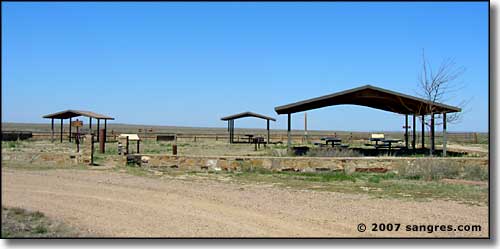 Timpas Creek Picnic Area |
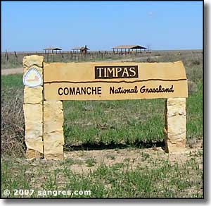
When the Mountain Branch of the Santa Fe Trail turned left and headed south from the Arkansas River Valley, it usually followed a route somewhat parallel to Timpas Creek. The Timpas Creek Picnic Area is in a place between US 350 and Timpas Creek where a nice picnic area has been established and there is also a 1-mile interpretive loop connecting the picnic area with the banks of Timpas Creek so that visitors can see for themselves what was here. You also get to cross some of the Trail's original wagon ruts twice. There are several interpretive signs around the area covering things like the Trail, the wildlife, the Grasslands, etc. And if you look real hard, you can see the Spanish Peaks ahead... |
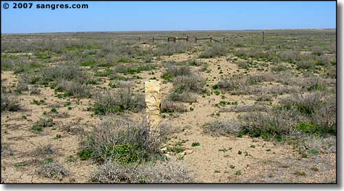 Looking northeast along the original ruts, the upright tan granite markers show the way 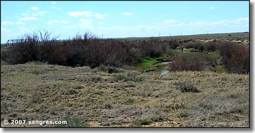 Timpas Creek, springtime |

|
| Index - Arizona - Colorado - Idaho - Montana - Nevada - New Mexico - Utah - Wyoming National Forests - National Parks - Scenic Byways - Ski & Snowboard Areas - BLM Sites Wilderness Areas - National Wildlife Refuges - National Trails - Rural Life Advertise With Us - About This Site - Privacy Policy |
| Photos courtesy of Sangres.com, CCA ShareAlike 3.0 License. Text Copyright © by Sangres.com. All rights reserved. |