Cactus Plain Wilderness Study Area

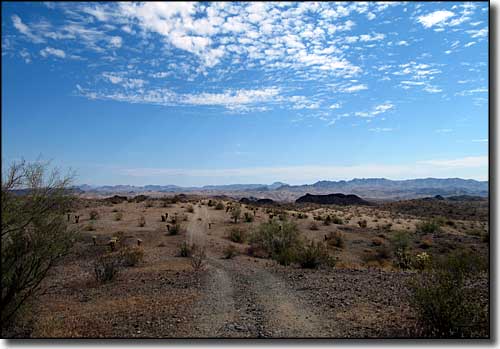
On the Swansea Road across the Cactus Plain
The Cactus Plain Wilderness Study Area is comprised of the western 2/3 of a large open area (59,100 acres) of stabilized and semi-stabilized sand dunes about 3 miles north of Bouse and about 15 miles southeast of Parker. This is a unique area in western Arizona with sand dunes that vary in type and color as you move from west to east across the landscape. As a Wilderness Study Area, wilderness rules and regs apply, so the area is fine for hiking, backpacking camping, horseback riding and such but no mechanized or motorized vehicles are allowed.
To get there: get off Interstate 10 at the Vicksburg exit and go north. When you reach Vicksburg, turn northwest and head for Bouse on State Route 72. Then take the Swansea Road north from Bouse. State Route 72 is just south of the WSA, while the Swansea Road stays to the southeast. Both roads are within easy walking distance of the property, just be careful of private property in some areas around the wilderness study area. Cactus Plain Wilderness Study Area is separated from East Cactus Plain Wilderness by a pipeline corridor and its attendant maintenance road.
USGS map: 7.5 minute: Black Peak, Bouse, Bob's Well, Bouse Hills West, Bouse NW, Cross Roads, Powerline Well

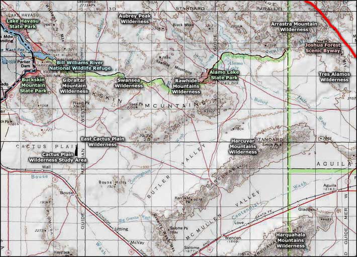
Cactus Plain Wilderness Study Area location map

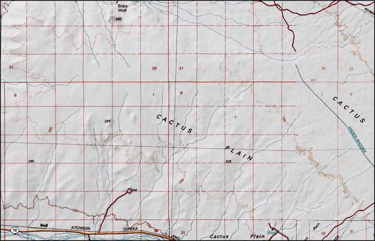
Cactus Plain Wilderness Study Area map
