
Harquahala Mountains Wilderness
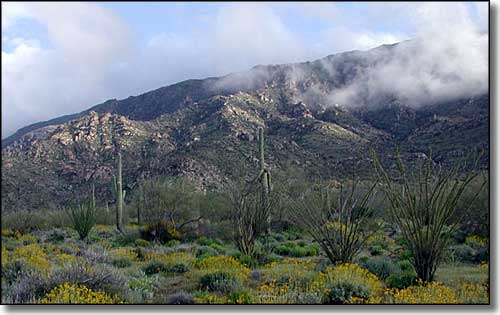
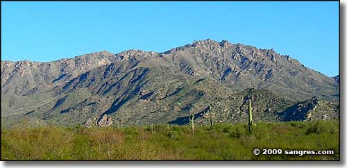
North side of the Harquahala Mountains after a very wet spring
The Harquahala Mountains are one of western Arizona's largest desert mountain ranges. Harquahala Peak (5,691') is also the highest peak in the southwestern part of the state. The US Army used the summit as a heliograph station in the 1880's. Back in the 1920's, the Smithsonian Institute pushed a mule trail up onto Harquahala Peak and built a solar observatory up there. The Harquahala Peak Trail (aka: Harquahala Mountains Back Country Byway) is pretty well overgrown now but there is what remains of the old truck trail that was used to get the materials up there. From the top of the mountain you can easily see mountains and deserts up to 100 miles away.
Harquahala means "running water high up" in a local Native American tongue. The mountains got the name because of the perennial springs and seeps scattered around the area. Most of the canyons here support diverse riparian habitats in the heart of a Sonoran Desert landscape. Harquahala Mountains Wilderness is a very rugged area with canyons like Sunset Canyon dropping some 1,600' from Harquahala Peak to the lowlands at the edge of the mountain range. On the northeast side of the Harquahala Mountains Wilderness is 9-mile-long Brown's Canyon, an almost-never visited paradise inhabited by the endangered desert tortoise. Probably the largest population of mule deer in western Arizona lives in these mountains, close to a large and growing herd of desert bighorn sheep.
This is a place you'd probably prefer not to visit in the heat of summer.
Harquahala Mountains Wilderness is usually accessed via jeep trails that extend south from SR 60. Eagle Eye Road gives paved access to many jeep trails on the south side of the mountains. The Harquahala Peak Road has been heavily eroded and has many steep and narrow grades. Drivers on this road will want extensive 4WD experience.
USGS Maps: Harquahala Mountain, Socorro Peak
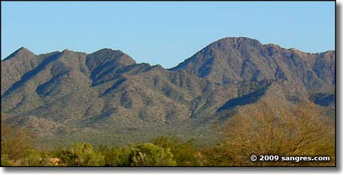
Harquahala Mountain
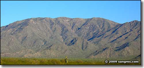
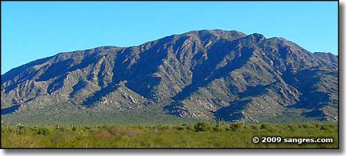
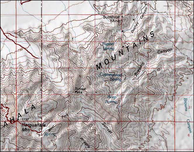
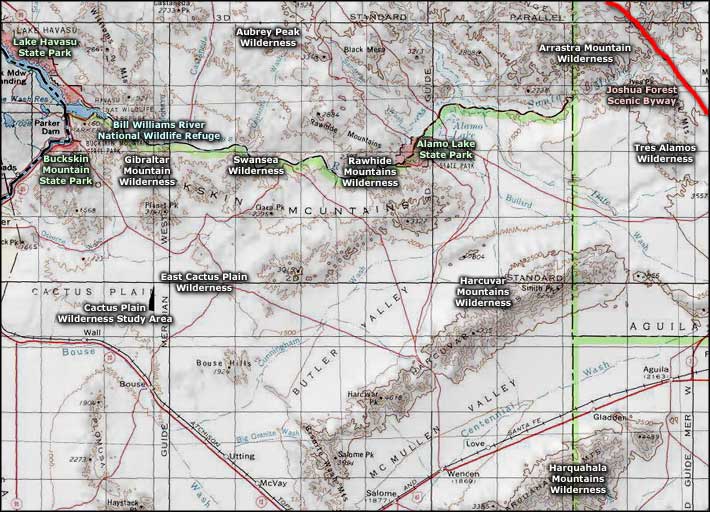
Harquahala Mountains Wilderness area map
