Rawhide Mountains Wilderness

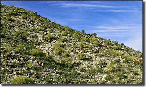
A typical view in the Rawhide Mountains Wilderness
The Rawhide Mountains Wilderness straddles the Bill Williams River just west of Alamo Lake State Park and east of the Swansea Wilderness. 5 miles of the 600-foot deep gorge of the Bill Williams River through here attracts lots of river runners in season. Along the journey you'll come across several waterfalls where flows from the side canyons empty into the river. The river also supports a riparian habitat of cottonwoods and willows, with a number of beavers, amphibians and other reptiles. While there's several species of raptors in the area, there's also at least one nesting pair of bald eagles around.
The southern part of the Rawhide Mountains Wilderness leads up into the Buckskin Mountains, a scenic range with elevations reaching up to 3,927' at Ives Peak. The Rawhide Mountains themselves line the north shore of the river and reach elevations up to 2,430' with a skyline of numerous volcanic outcroppings cut by several washes and canyons. This 38,470-acre property has year-round water and is an excellent area for extended backpacking trips.
The Bill Williams River gorge can be reached from the south shore of Alamo Lake at Alamo Lake State Park. Park at the dam overlook and then hike 1.5 miles to the beginning of the gorge at the bottom of the dam. In late winter and spring this route is often closed to hikers to minimize disturbance to the local nesting bald eagles. The Alamo Road coming south from Yucca (also easily accessed via the county-maintained Chicken Springs Road from Wickieup) leads to the northern portion of the Rawhide Mountains Wilderness.
USGS Maps: 7.5 minute: Artillery Peak, Alamo Dam, Reid Valley, Rawhide Wash

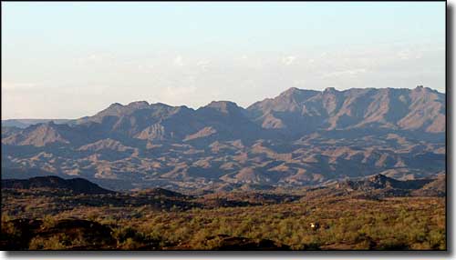
The Rawhide Mountains north of Bill Williams River

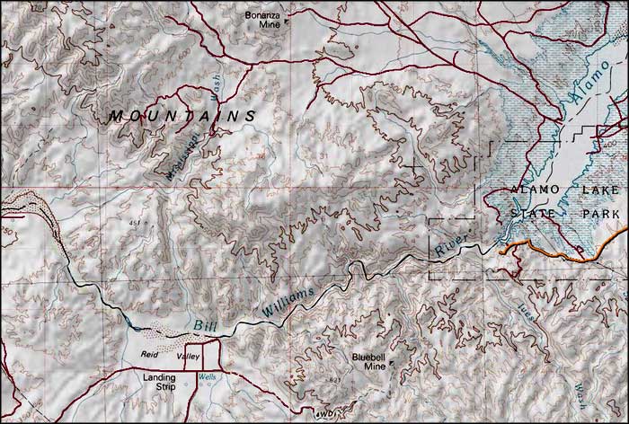
Rawhide Mountains Wilderness map

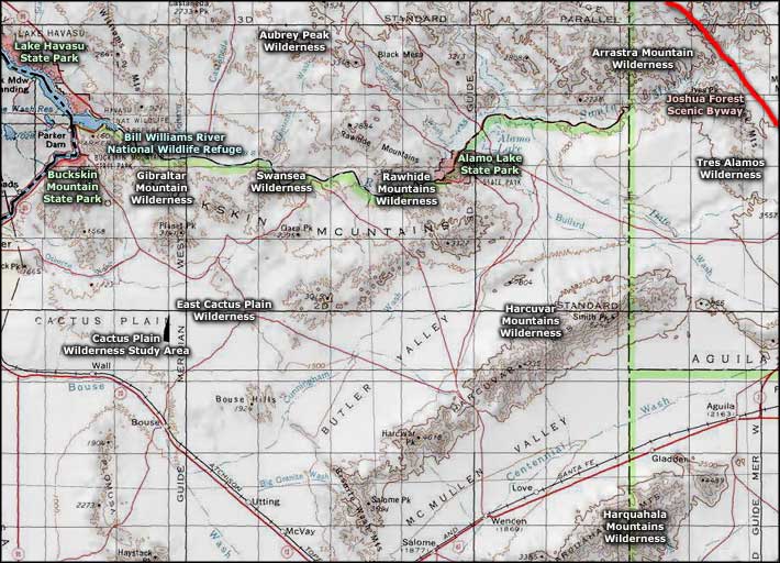
Rawhide Mountains Wilderness area map
