
Bill Williams River National Wildlife Refuge
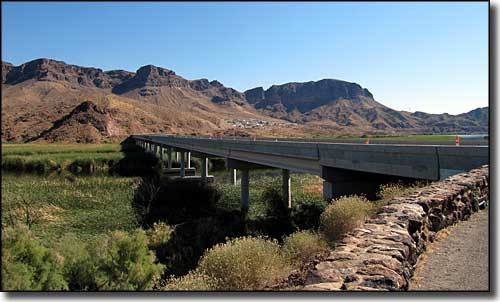
Highway 95 bridge across the Bill Williams River
The 6,105-acre Bill Williams River National Wildlife Refuge lies along a ribbon of cool water through classic Sonoran desert with cactus-filled uplands, cattail marshes and desert riparian habitat. This is one of the last areas in the lower Colorado River valley where you can still find naturally-occuring stands of the cottonwood-willow forest that used to be here before "civilization" arrived and wiped most of it out. Once they closed the gates on Hoover Dam in 1935, the "taming" of the Colorado River was underway and with 20-or-so dams now holding back the waters, the formerly widespread cottonwood-willow habitats have been all but drowned downstream from the Grand Canyon. The Bill Williams River area took a similar hit with the construction of the Alamo Dam upriver from the Refuge in 1968. The staff at the Refuge are working with the Army Corps of Engineers at Alamo Dam to try to return waterflows in the river to a more natural sequence.
This is a unique ecosystem where you can look at cattails, cottonwoods and Saguaros from the same spot. It's also unique in that the various habitats so close together allow for use by a huge diversity of plants and wildlife. This area also sees lots of neotropical birds from Central and South America as this is near the northern end of their migratory routes.
The Bill Williams River National Wildlife Refuge headquarters is located between mileposts 160 and 161 on Arizona Highway 95 about 23 miles south of Lake Havasu City. In a cove below the refuge headquarters is a site where species like the endangered bonytail chub and razorback sucker are raised. When the young reach about 10" in length, they are released into the waters of Lake Havasu. Most of the cattail marsh in the river delta area can be viewed from turnouts along Highway 95. The riparian area along the river itself runs eastward from the bridge over the river and can only be accessed on foot.
Vehicles are allowed only on the La Paz County rights-of-way along the already established roads. Nothing motorized or mechanized is allowed off the roads in the Refuge. No camping, fires, firearms or trapping is allowed on the Refuge. Pets are allowed only if on a 6' or shorter leash and under the owner's control at all times. Everything (except the visitor) is protected by federal and/or state law. Remove and/or disturb nothing, except game or fish taken in season by a duly licensed hunter/angler using legal means. And no rock hounding, prospecting or use of metal detectors is allowed.
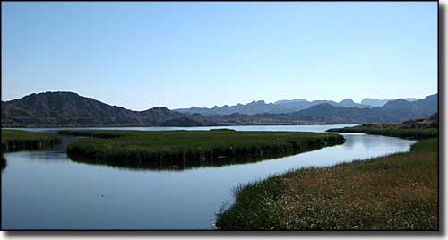
The Bill Williams River
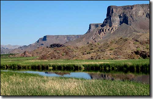
Deeper into the Bill Williams River National Wildlife Refuge
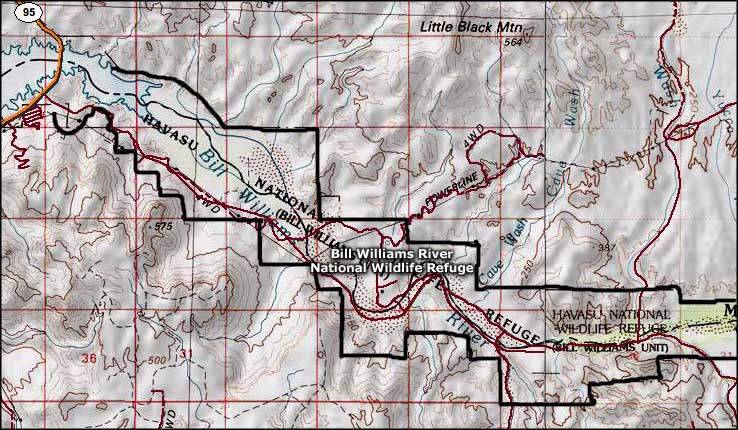
Bill Williams River National Wildlife Refuge area map
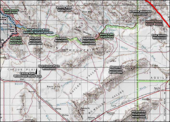
Bill Williams River National Wildlife Refuge area map
