Gibraltar Mountain Wilderness

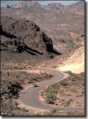
Gibraltar Mountain rises 1,568' above sea level on the western edge of the Buckskin Mountains. The 18,790-acre Gibraltar Mountain Wilderness surrounds this ragged volcanic peak that is cut by many rocky canyons and deep, sandy washes. The tops of the ridges offer great 360° vistas, the lower eroded beds of volcanic tuff offer many hidden nooks, crannies and caves. While the area is beginning to attract rock climbers it still only sees a few hundred visitors per year. The sandy washes make it reasonably easy to get through the cholla, barrel cactus, paloverde, and creosote bush. If you're really quiet, you might stumble on the small herd of desert bighorn sheep that hangs out here. This is a really peaceful and quiet area offering great colorful panoramas in all directions. You want to visit when the sun isn't cooking down.
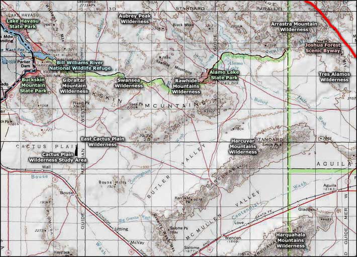
To get to Gibraltar Mountain Wilderness: go to the Quartzite exit on the I-10. Take SR 95 north toward Parker to SR 72. Turn west on SR 72 and head toward Parker again. 2 miles south of Parker go east on the paved Shea Road for 5 miles. On the northeast side of Gibraltar Mountain Wilderness is a power-line road, on the west side is the Cienega Springs Road and on the south is a mining road. Once you leave Shea Road, you might want to have a high clearance, 4WD vehicle to reach the wilderness boundary.
USGS Maps: 7.5 minute: Black Peak, Cross Roads, Monkeys Head, Bobs Well, Osborne Well

Gibraltar Mountain Wilderness area map
