Upper Burro Creek Wilderness

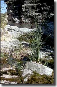
The Upper Burro Creek Wilderness preserves and protects one of the few perennial, undammed streams that flows into the lower Arizona desert. The 27,440-acre Upper Burro Creek Wilderness is crossed by 9 miles of Burro Creek. The creek has cut a deep canyon into the bedrock, dropping almost 1,500' in one half-mile stretch. If you hike along the creek you'll find pool after pool after pool, all interconnected by small waterfalls. Some pools are great for a swim while others are long marshes ringed by young trees and thick vegetation. Away from the creek you'll find raggedy rock spires, cliffy basalt mesas and rough side canyons. Upper Burro Creek Wilderness is divided into east and west sections by a "usable" dirt road, but once you're off that road there are no designated trails. The easiest hiking is along the stream and in some of the side canyons, although the upper part of the stream can make for some pretty strenuous walking. You'll probably come across beaver, badger, ringtail cat, skunk, raccoon, rabbit, javelina, gray fox, mountain lion, bobcat, mule deer, and pronghorn. And summer is probably not the best time to visit...
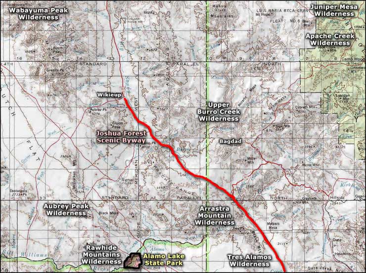
The only access route to Upper Burro Creek Wilderness that doesn't involve crossing private land nor driving on clay roads (which can't be done in rainy season) is the Sycamore Camp Access. About 7.5 miles south of Wickieup on US 93 (near milepost 132), turn east onto a good unpaved road. Go 7.8 miles to an intersection on a ridgetop. A sign there points left to Sycamore Camp. Go north on that road for 4.9 miles to a jeep trail on the right dropping into Cornwall Canyon. This is the southwest boundary of Upper Burro Creek Wilderness and you can park and hike from there. Or you can go another 3.4 miles toward Sycamore Camp to a jeep trail along a fenceline to the right. Follow the jeep trail, turn right at the intersection about 1 mile in and go another 3.5 miles to Black Willow Spring. This is the western boundary of the wilderness. Park at least 1/4 mile away from the spring.
USGS Maps: 7.5 minute: Greyback Mountains, Negro Ed, Elephant Mountain, Pilot Knob

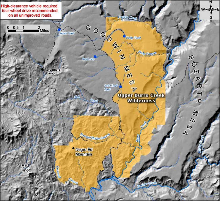
Upper Burro Creek Wilderness area map

Upper Burro Creek Wilderness map
