Juniper Mesa Wilderness

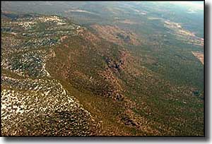
Juniper Mesa is an east-west mesa at the southern end of the Juniper Mountains. This is one of the more remote areas in northwestern Arizona. Most of the 7,554-acre Juniper Mesa Wilderness is occupied by flat-topped Juniper Mesa. Elevations vary from 7,050' down to 5,650' as the mesa drops over a cliff and down through steep canyons onto open rolling hills. From the edge of that cliff you can see Apache Creek Wilderness directly to the south and Granite Mountain, Sycamore Canyon and Woodchute Wilderness Areas off in the distance.
In a countryside that is mostly formed of granite, the limestones and sandstones that make up the face of the cliff really stand out. That puts Juniper Mesa at the southern edge of the original Colorado Plateau, a huge chunk of ground that was uplifted some 65 million years ago and includes all of northeastern Arizona, southeastern Utah, northwestern New Mexico and southwestern Colorado. This is the near the western terminus of the Mogollon Rim.

The northern slopes are covered with Ponderosa pines and alligator junipers while the steeper southern slopes tend to the pinon pine and Utah/alligator juniper side of things. There are some springs here but they are unreliable, especially in extended dry seasons (and none of them have been tested for water quality in human memory). There are no perennial streams. However, you will find elk, mule deer, black bear, Abert's squirrel, and bobcat.
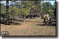
The Forest Service says there are seven maintained trails (15 miles worth) in Juniper Mesa Wilderness but maintenance and signage seem to be short... The biggest users of the property: hunters and equestrians.

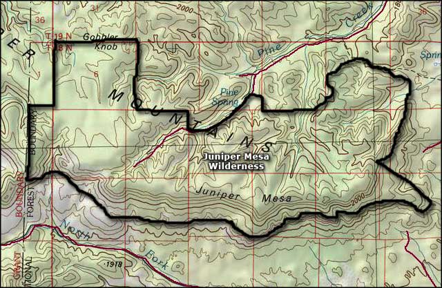
Juniper Mesa Wilderness map

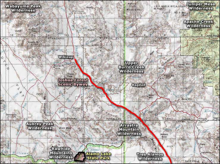
Juniper Mesa Wilderness area map
