
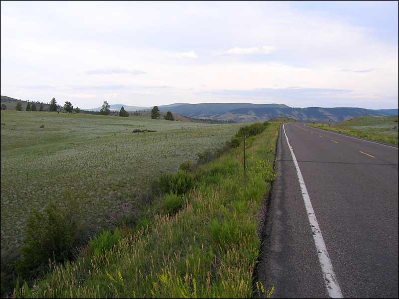
Cochetopa Crossing - CO Highway 114
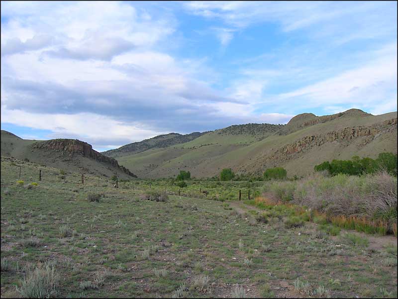
Saguache to North Cochetopa Pass, Colorado

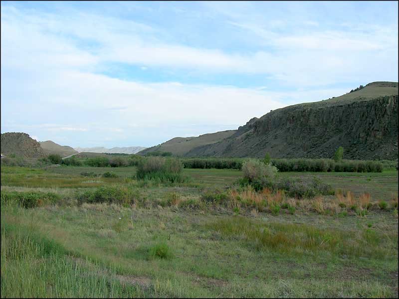
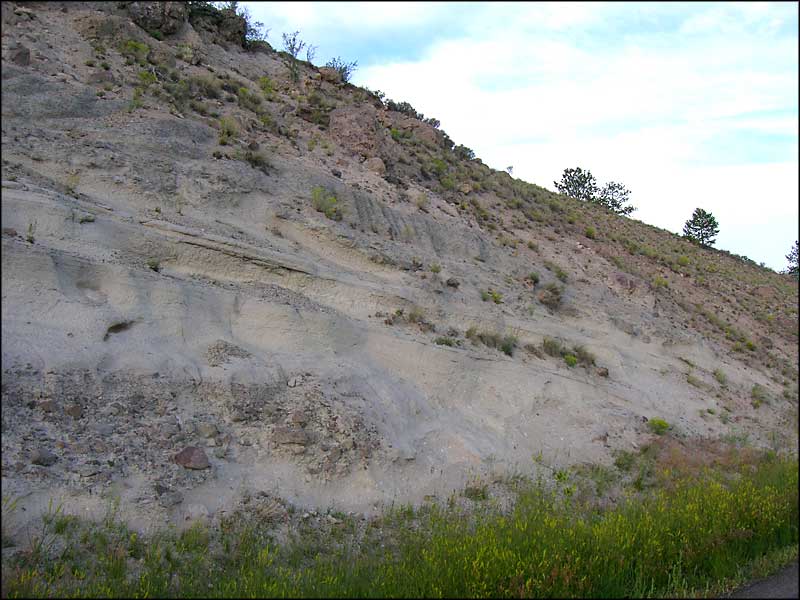
The Cochetopa Hills, just west of Saguache
What I am calling “the Cochetopa Crossing” is the path Colorado State Highway 114 cuts across the mountains and forests between Saguache and Gunnison. This is a beautiful area with many different types of landscape and tree cover. The Cochetopa Hills are the result of volcanic activity that created the Cochetopa Dome: a would-have-been volcano except that it never reached the surface and never erupted, it only pushed up a significant chunk of countryside. Somewhere around here there was significant lava flow because a lot of the countryside shows dikes and walls of hardened lava and the remains of eroded pinnacles.
Like most roads across the mountains of Colorado, this one also follows an old Ute hunting and migration trail. The route that is still followed today originated maybe 1,000 years ago as the ancient Indian tribes made their way across this beautiful landscape in search of good hunting grounds.

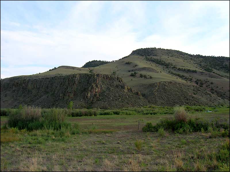
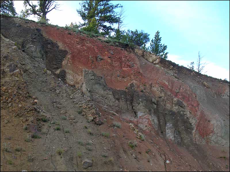
Evidence of lava flows, just west of Saguache

A stand of aspens in the arm of lava pinnacles

Looking northeast, Mt. Ouray in the distance

Heading up the hill towards North Cochetopa Pass

Looking east near the summit of North Cochetopa Pass
To return, use the back button in your browser.
 In the eastern edge of the Cochetopa Hills |
 Looking north near the beginning of the Cochetopa Hills |
 Looking south near Cochetopa Dome |
|---|---|---|
 Near Cochetopa Dome |
 Volcanic Ash |
 More Volcanic Ash |
Rio Grande National Forest - State Trustlands & Wildlife Areas
La Garita Natural Arch - Penitente Canyon - Russell Lakes SWA
Cochetopa Hills 1 - Cochetopa Hills 2 - Joyful Journey Hot Springs Spa
Mountains
Sangre de Cristo Mountains - Sawatch Mountains - San Juan Mountains
The Crestones - Kit Carson Peak - Panoramas: Sangre de Cristo Mountains
National Park Service Sites - BLM Sites - National Wilderness Areas - Unique Natural Features
Outdoor Sports & Recreation - Ski & Snowboard Areas - Photo Galleries - Colorado Mountains
