
Greenhorn Mountain Wilderness
Wet Mountains, Colorado

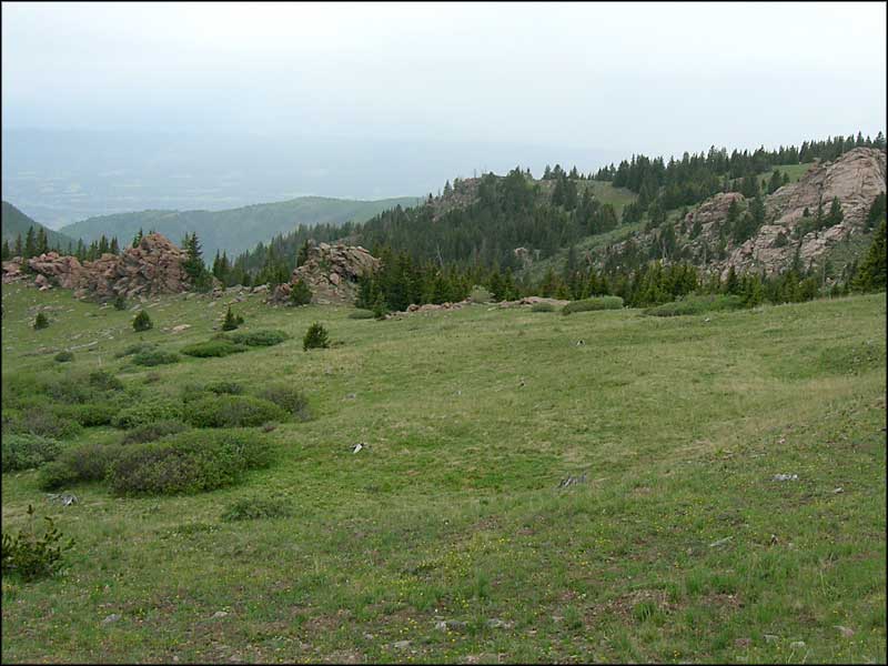
A chunk of 1.8 billion-year-old granite sticking up just beyond Wolf
Greenhorn Mountain National Wilderness, comprising some 22,040 acres in the southern Wet Mountains, came into being through an Act of Congress in 1993. Once upon a time there were homesteads and cattle ranches in some areas out here but over time, they were abandoned and this land was incorporated into the Wet Mountains section of the San Isabel National Forest. These days there's no mechanized vehicles allowed, which includes mountain bikes and hang gliders. There used to be a sign at the parking area saying no hang gliders, too, but that was gone last time I was there.
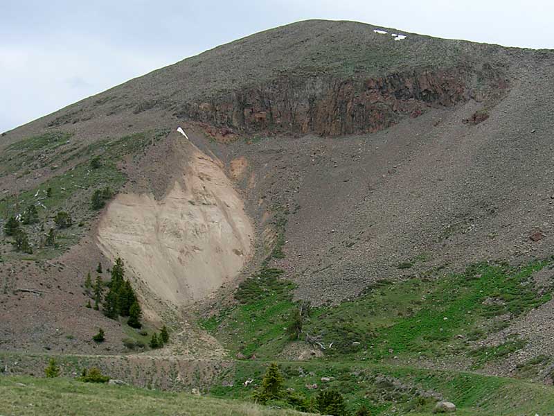
Except for the igneous intrusion that forms and fills the upper rock faces of the Greenhorn Peaks themselves, this area of the Wet Mountains is built on glacier-carved and eroded formations of 1.8 billion-year-old granite. The rock of the Peaks plus Santana Cone and Badito Cone are from one igneous intrusion, about 25 million years ago (about the same time as the main Spanish Peaks and Mt. Mestas-Silver Mountain-Sheep Mountains intrusions to the south and west).
There's about 11 miles of trails crossing the Wilderness, and these trails are only in the northern half of it. The southern half of this property is remote, rugged and essentially waterless. If you're looking for a place to get away from it all and still have some extraordinary views, this is it.
Directions: We went to the Ophir Creek Turnoff, just north of Bishop's Castle on State Highway 165 and went west on Forest Road 360 to the intersection with the Gardner Road (FR 634). There we turned left on FR 369 and followed that to the trailhead at the end of the road. It is a long road with many twists and turns and you don't even see Greenhorn Mountain itself until you are almost on it. There are quite a number of hiking trails leading off along the way and all of it looks gorgeous.

To return, use the back button of your browser.
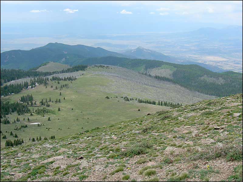 Looking south along the ridge from South Greenhorn Peak |
 Looking south from South Greenhorn Peak |
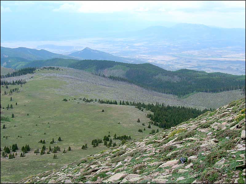 Looking southwest from South Greenhorn Peak |
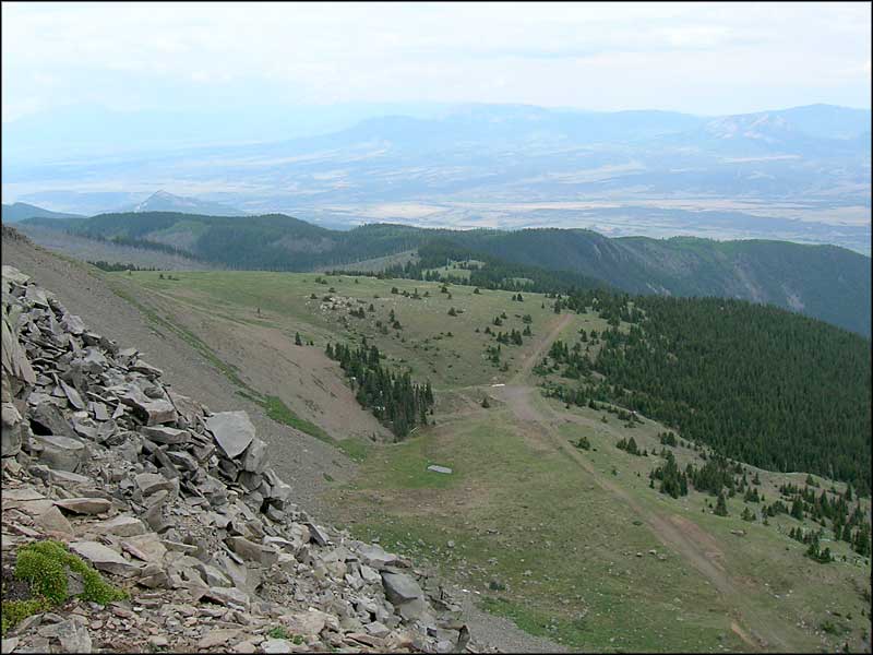 Bartlett Trail from South Greenhorn Peak |
 Bartlett Trail from South Greenhorn Peak |
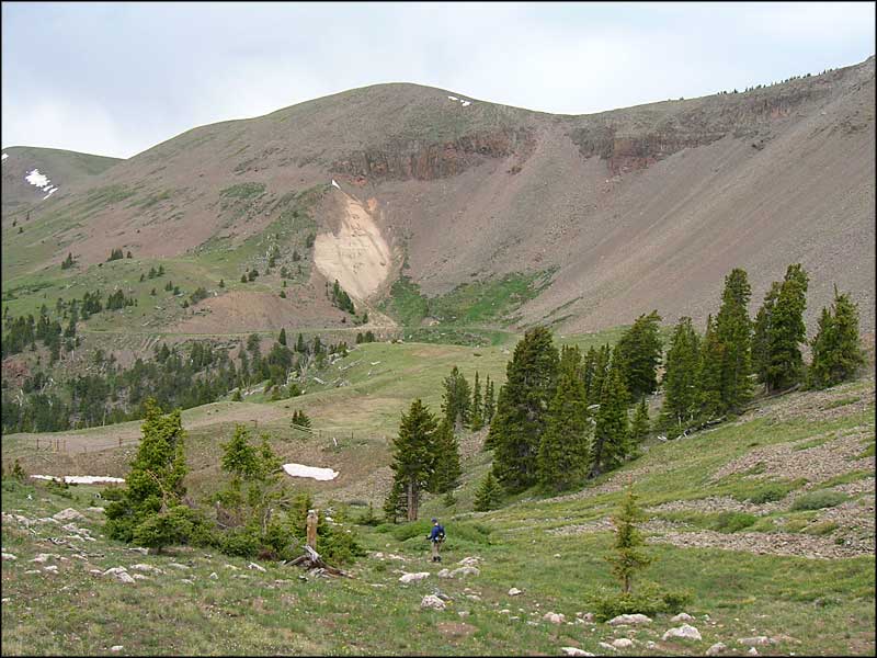
 Heading north on the Bartlett Trail below South Greenhorn Peak |
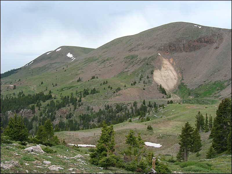
 The ridge above leads right to South Greenhorn Peak |
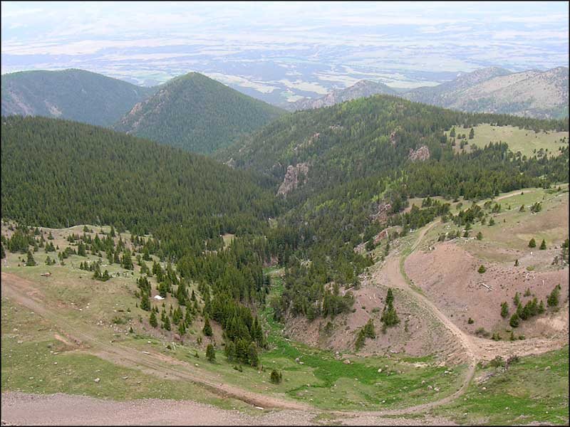
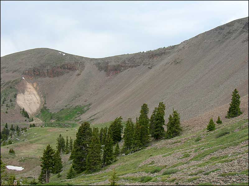
 The Bartlett Trail follows the edge of the scree field |
 The countryside below the Bartlett Trail |
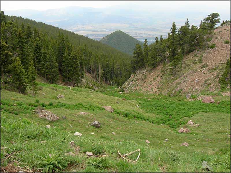 The springs come out of the ground where we walk, then they travel downhill like this |
 A granite rib just shows on the hillside |
 A last shot of the rock wall above |

Greenhorn Mountain Wilderness map

Greenhorn Mountain Wilderness area map
Selected Hiking Trails - Lake Isabel - Bishop's Castle
Frontier Pathways Scenic and Historic Byway - Oak Creek Grade
National Park Service Sites - BLM Sites - National Wilderness Areas - Unique Natural Features
Outdoor Sports & Recreation - Ski & Snowboard Areas - Photo Galleries - Colorado Mountains
